Invisible Lines: How Unseen Boundaries Shape The World Around Us
In this episode of The Conversation Weekly podcast, we speak to geographer Maxim Samson at De Paul University in the US about the unseen boundaries that can shape our collective and personal perceptions of the world – what he calls“invisible lines”.
For Samson, invisible lines are:“Boundaries and belts that shape our understanding of and interactions with the planet, even though these boundaries and belts are, to all intents and purposes, unseen.”
While we may not be able to see these lines on a conventional map, people often know that they exist.
One example is the history of redlining in the US. Originating in the 1930s, the practice involved government-backed mortgage lenders colour-coding neighbourhoods. Green denoted the most desirable areas while red marked the highest-risk zones, often inhabited by Black communities.
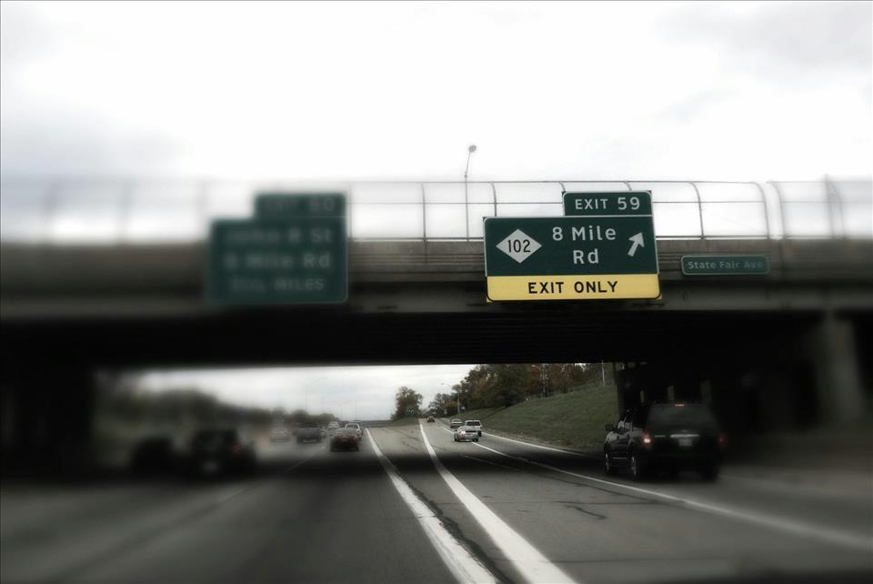
Although redlining was officially outlawed in 1968 and the lines are no longer marked on any maps, their enduring impact resonates across America today. One example is Detroit's 8 Mile road , which still segregates the city along racial lines – with predominantly African American neighbourhoods to the south, and predominantly white, affluent areas are to the north of 8 Mile.
Read more: Removing urban highways can improve neighborhoods blighted by decades of racist policies
But it's not just in cities that these boundaries exist. One example Samson gives from nature is the Wallace line , which runs through parts of Indonesia and marks a sharp transition in flora and fauna between the Asian and Australian regions. On one side, you get what are considered Asian animals such as monkeys; on the other, marsupials associated with Australia.
Another invisible line is the Qinling-Huaihe line , which separates China into two distinct regions: the humid and subtropical south and the dry, temperate north.
This distinction has informed government policy and led to different levels of development in the south versus the north. By recognising the seemingly innocuous Qinling-Huaihe line, it's possible to discern disparities in economic development, inequality and air pollution between China's southern and northern regions that might otherwise be obscured.
For Samson, analysing these kinds of boundary can help understand different access to education, employment opportunities and public services, depending on which side of the invisible line someone falls.
Listen to the full interview with Maxim Samson on The Conversation Weekly podcast .
A transcript of this episode will be available shortly.
This episode of The Conversation Weekly was written by Mend Mariwany and Katie Flood. Gemma Ware is the executive producer. Sound design was by Eloise Stevens, and our theme music is by Neeta Sarl. Stephen Khan is our global executive editor, Alice Mason runs our social media and Soraya Nandy does our transcripts.
You can find us on Instagram at theconversationdotcom or via email . You can also subscribe to The Conversation's free daily email here .
Listen to The Conversation Weekly via any of the apps listed above, download it directly via our RSS feed or find out how else to listen here .

Legal Disclaimer:
MENAFN provides the
information “as is” without warranty of any kind. We do not accept
any responsibility or liability for the accuracy, content, images,
videos, licenses, completeness, legality, or reliability of the information
contained in this article. If you have any complaints or copyright
issues related to this article, kindly contact the provider above.


Comments
No comment