403
Sorry!!
Error! We're sorry, but the page you were looking for doesn't exist.
Tropical Storm In The Caribbean Will Bring Heavy Rains To Central Provinces
(MENAFN- Newsroom Panama)
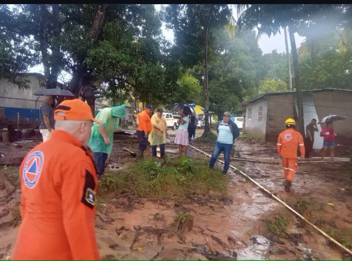
The Imhpa has issued a watch for heavy rain and significant thunderstorms across the country and maritime areas. This watch is valid until 11:59 pm on November 5, 2024. The Institute of Meteorology and Hydrology of Panama (Imhpa) issued this afternoon an update of its forecast on the weather conditions associated with Tropical Storm Rafael in the Caribbean basin, which is registering winds of up to 63 kilometers per hour. Emmanuel Velásquez, a meteorologist and forecaster at Imhpa, warned that the weather phenomenon has shown better organization and continues to advance, which represents a risk for the next few hours. According to the report, a mass of humid air is expected to enter the country, and in combination with daytime warming, trigger rain and thunderstorms. Velásquez explained that this phenomenon will mainly affect the central provinces and the western areas of Panama, where a greater concentration of rain is expected for tomorrow, November 5. In addition, the IMHPA has issued a special warning for border areas with Costa Rica, where rainfall is expected to intensify. Velásquez said that until the tropical depression moves away from the region, rain and thunderstorm conditions will continue to affect the country, urging the population to take the necessary precautions and stay informed through official channels of the Imhpa and civil protection authorities. In addition, the soil saturation for the last six hours indicates large areas with 100% saturation levels, meaning that flooding and landslides can occur with little rainfall.

Legal Disclaimer:
MENAFN provides the
information “as is” without warranty of any kind. We do not accept
any responsibility or liability for the accuracy, content, images,
videos, licenses, completeness, legality, or reliability of the information
contained in this article. If you have any complaints or copyright
issues related to this article, kindly contact the provider above.


Comments
No comment