Vizzio Technologies Awarded World's First Patent For Geospatial 3D Mapping Using Satellite Images And AI
Date
8/30/2024 5:12:51 AM
(MENAFN- Dubai PR Network)
data-text="Vizzio Technologies Awarded World's First Patent for GeoSpatial 3D Mapping Using Satellite Images and AI" data-link=" Technologies Awarded World's First Patent for GeoSpatial 3D Mapping Using Satellite Images and AI" class="whatsapp">Shar
SINGAPORE - media OutReach Newswire - 30 August 2024 - Vizzio Technologies Pte Ltd has been awarded a groundbreaking patent by the United States Patent and Trademark Office (USPTO), marking a significant milestone in the field of 3D city mapping. This world-first patent recognises Vizzio Technologies for its innovative integration of 2D satellite imagery and state-of-the-art AI technology to produce highly detailed and geometrically accurate 3D city models.
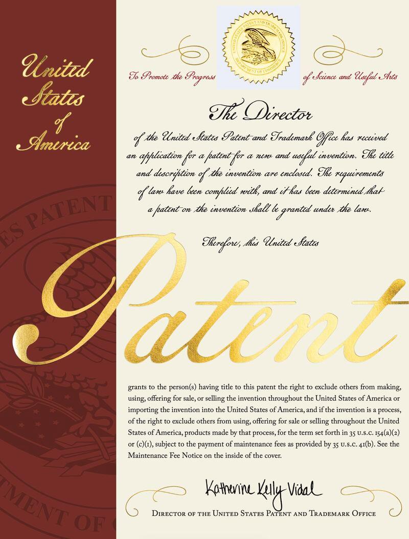
The patent, granted exclusively to Vizzio Technologies, encompasses 15 novel methods and claims that outline their unique process of converting 2D satellite images into comprehensive 3D city models. This pioneering technology eliminates the need for drones or planes, establishing a new benchmark for 3D city mapping. It represents a pivotal component of Vizzio's AI modelling pipeline, setting a new standard in the industry.
In addition to this landmark patent, Vizzio Technologies has also received a second patent, further solidifying its position as a leader in advanced 3D mapping technologies. The second patent underscores Vizzio's commitment to delivering precise and photorealistic digital twins of urban environments. This capability was exemplified by Vizzio's recent project where the entire city of Bahrain, covering 785 square kilometres, was modelled in under one month, demonstrating the efficiency and accuracy of their technology.
The combination of these patents signifies a major advancement for Vizzio Technologies, enabling the company to offer LIVE 3D real-time digital twins through their Polytron platform. This technology enhances various applications, including urban planning, environmental sustainability, and defence. Vizzio's innovations effectively merge physical and virtual worlds, creating a unified solution for diverse real-world applications.
These achievements by Vizzio Technologies not only highlight their past successes but also set the stage for future innovations and collaborations. The patents are a testament to Vizzio's dedication to pushing the boundaries of 3D city mapping and digital twin technology.
Hashtag: #VizzioTechnologies #POLYTRON #AITechnology #3DMapping


The issuer is solely responsible for the content of this announcement.
Vizzio Technologies
Vizzio Technologies leads the world in creating detailed 3D city models using satellite imagery and AI. We produce immersive digital twins of cities globally, integrating multi-resolution data and machine learning for real-time insights and modelling. Established in 2020, we have mapped over 1 million square kilometres of urban space, filed 34 patents, and saved 75% of time compared to traditional methods. Our goal is to deliver dimensionally accurate, photorealistic digital twins for every city on Earth, supporting a range of applications from urban planning to security.
![]()
Vizzio Technologies
MENAFN30082024003092003082ID1108618836

Legal Disclaimer:
MENAFN provides the information “as is” without warranty of any kind. We do not accept any responsibility or liability for the accuracy, content, images, videos, licenses, completeness, legality, or reliability of the information contained in this article. If you have any complaints or copyright issues related to this article, kindly contact the provider above.