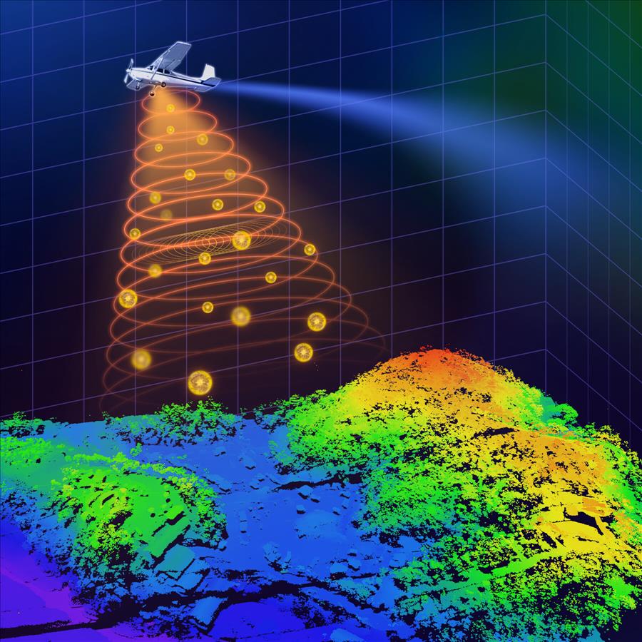
Airborne Lidar Market Dynamics See Growth Amid Increasing Use In Climate And Environmental Monitoring Market Trends & Business Updates
- Share Tweet Pin LinkedIn Email
The Airborne Lidar Market is poised for significant advancements as industries increasingly rely on accurate and efficient geospatial data. With rising demand for mapping and analytics, LiDAR technology will remain integral to industries ranging from defense to agriculture. However, addressing challenges like cost and data security will be crucial for sustained growth.
The global airborne LiDAR (Light Detection and Ranging) market is undergoing rapid growth, driven by advancements in remote sensing technologies and increased adoption across diverse industries. This report delves into the industry's key components, segmental analysis, regional trends, and future growth prospects over the forecast period.
The major players in the Airborne LiDAR market include Teledyne Technologies, Leica Geosystems (Hexagon AB), Fugro, IGI Systems, Photomapping Services Pty Ltd, Merrick & Company, Velodyne Lidar Inc, AAM Pty Ltd, Airborne Imaging Inc, Surveying And Mapping LLC.
Get more information on“Global Airborne LiDAR Market Research Report” by requesting FREE Sample Copy at
Market Overview
Airborne LiDAR systems provide precise 3D mapping and data collection, which are vital for applications ranging from defense to environmental monitoring. By combining laser scanning with GPS and inertial navigation systems, these solutions enable efficient data acquisition, particularly in challenging terrains.
Market Segmentation
By Solution-
System Components
-
Hardware : Comprises sensors, laser scanners, GPS, and navigation systems.
Software : Includes processing, visualization, and analytics tools to interpret LiDAR data.
-
Defense & Aerospace : Critical for surveillance, reconnaissance, and tactical mapping.
Infrastructure : Used in construction planning, monitoring, and management.
Oil and Gas : Facilitates exploration and monitoring of pipelines and reservoirs.
Forestry & Agriculture : Enables vegetation analysis, crop monitoring, and land use planning.
Transportation and Logistics : Supports road and rail design, traffic management, and route optimization.
Mining Industry : Assists in site exploration and volumetric analysis.
Others : Applications in environmental studies, archaeology, and urban planning.
-
Airborne Topographic LiDAR : Optimized for land-based mapping and terrain analysis.
Airborne Bathymetric LiDAR : Specialized in underwater and coastal mapping.
-
Fixed-Wing Aircraft : Ideal for large-scale area mapping due to extended flight ranges.
Rotary-Wing Aircraft : Suited for detailed and localized surveys.
UAVs (Unmanned Aerial Vehicles) : Increasingly popular for cost-effective and high-resolution mapping.
Regional Insights
North America :-
Market leader due to technological advancements and government initiatives for defense and environmental monitoring.
High adoption in forestry and agriculture, transportation, and urban planning sectors.
-
Strong presence in infrastructure development and environmental applications.
Countries like Germany and the UK invest heavily in UAV-based LiDAR systems.
-
Witnessing rapid growth due to infrastructure development and urbanization in China, India, and Southeast Asia.
Expanding applications in agriculture, disaster management, and mining.
-
Growing demand in forestry and environmental conservation.
Limited but expanding infrastructure applications.
-
Emerging market driven by investments in oil and gas, mining, and transportation.
Market Drivers
-
Technological Advancements : Enhancements in sensor accuracy and UAV technology.
Increased Adoption : Rising demand for geospatial data in urban planning, disaster management, and environmental monitoring.
Regulatory Support : Government initiatives promoting the use of advanced mapping technologies.
Browse Global Airborne LiDAR Market Research Report with detailed TOC at
Challenges
-
High Initial Costs : Equipment and operational expenses can be prohibitive for smaller players.
Data Privacy Concerns : Issues related to surveillance and data ownership in certain applications.
Skill Gap : Need for skilled professionals to operate and analyze LiDAR systems.
Growth Opportunities
-
Integration with AI and machine learning for advanced data analytics.
Expansion of UAV-based LiDAR applications for small-scale and localized projects.
Growing demand in emerging economies for infrastructure development and resource management.
Forecast and Outlook (2023-2032)
The global airborne LiDAR market is expected to witness a compound annual growth rate (CAGR) of approximately 12%-15% during the forecast period, reaching a market size of over $5 billion by 2032 . Innovations in sensor technology, coupled with increased adoption across various industries, will drive this growth.

Legal Disclaimer:
MENAFN provides the
information “as is” without warranty of any kind. We do not accept
any responsibility or liability for the accuracy, content, images,
videos, licenses, completeness, legality, or reliability of the information
contained in this article. If you have any complaints or copyright
issues related to this article, kindly contact the provider above.


Comments
No comment