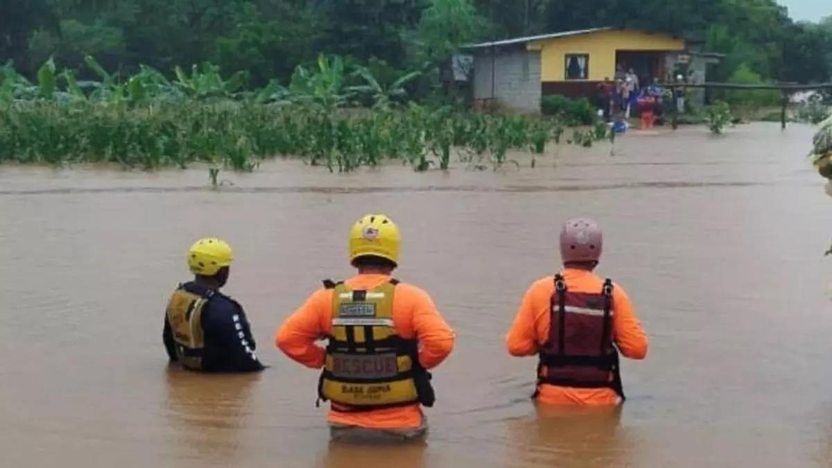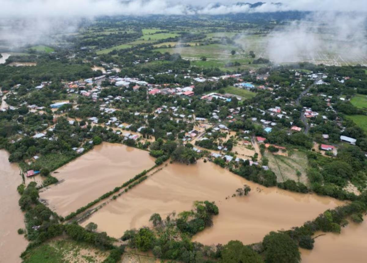
The Storm Known As Rafael Hit Panama Tuesday November 5

In these risk areas, intermittent rain is expected to begin this morning and continue into the evening. During the afternoon, no rain is expected in central provinces, Colon, metro-east Panama and Darien, according to the forecast maps. At night, heavy rains will be concentrated in the lower parts of Chiriqui, while the rest of the country will remain rain-free. Residents in high-risk areas are advised to remain alert and follow civil protection instructions. The National Civil Protection System (Sinaproc) extended the red alert last night to the provinces of Colón and Coclé, as well as the Ngäbe-Buglé region. Meanwhile, festivities for today were suspended

Legal Disclaimer:
MENAFN provides the
information “as is” without warranty of any kind. We do not accept
any responsibility or liability for the accuracy, content, images,
videos, licenses, completeness, legality, or reliability of the information
contained in this article. If you have any complaints or copyright
issues related to this article, kindly contact the provider above.


Comments
No comment