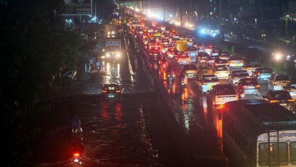
Driving In Gurugram? Google Maps Will Now Warn You About Speed Limits And Accident-Prone Zones
This feature, which came to effect on Thursday, November 6, aims to improve road safety and address the growing number of fatal crashes in Gurugram, the Hindustan Times reported.
The Gurugram traffic police has further expressed intentions to expand this digital alert feature to over 200 city roads by early next year, covering all major junctions and arterial routes.
How does this feature works?The core of the new system is providing real-time alerts to motorists about the permissible speed limit and high-risk stretches on the roads they are traveling. By sending these alerts, the app serves as an immediate digital guide, prompting drivers to maintain safe speeds and avoid sudden lane changes which is a major cause of road fatalities, the officials told HT.
Also Read | Google Maps brings 10 new powerful features to IndiaRajesh Mohan, deputy commissioner of police (DCP) (traffic), said that the project aims to make motorists aware of their responsibility while riding on the roads.“Many crashes take place because commuters drive rashly on busy stretches. The navigation app will now issue speed limit alerts in real-time, reminding them to slow down and drive responsibly,” he said.
He also stressed preventing accidents is the top priority of this new project.“A driver who maintains a speed of around 30 kilometres per hour in congested areas has a much higher chance of surviving a collision. With this system, we're preventing accidents before they happen,” DCP Mohan noted.
Which are the accident prone zones?This feature has been rolled out after the traffic police release some alarming accident statistics, which shows that so far in this year, 345 deaths and over 580 injuries in road accidents were recorded across Gurugram.
Police data reveals that the most accident-prone locations are:
- NH-48
- Dwarka Expressway
- Sohna Road
- Golf Course Extension Road
All these areas will soon display virtual caution markers on GPS navigation apps.
To back up the tech-enabled system, police are simultaneously increasing om-ground enforcement through ANPR (automatic number plate recognition) cameras, drones, and digital challans.
According to police data, 50 accidents occurred this year on expressways including NH-48, Dwarka Expressway, and the Kundli-Manesar-Palwal (KMP) expressway. In 2024, Gurugram recorded 448 deaths and over 1,000 accidents, making it one of Haryana's most accident-prone districts.
Public reaction to the featureThis move has been widely welcomed by the residents, though many stressed that enforcement should go hand-in-hand with awareness. Rohit Saini, a corporate employee who commutes from Sector 57 to Cyber City on a daily basis told HT that,“speed alerts on Google Maps will definitely help, especially at night. Many drivers, including cab and delivery riders, have no idea about local speed limits. These reminders can save lives.”
Also Read | Several injured in Mumbai after being hit by train near Sandhurst Road stationSimilarly another resident, Komal Sharma from Sector 83, emphasised that technology can only help, if people fear consequences.“I've seen cars racing on Dwarka Expressway as if it's a track. There should be patrol teams and instant penalties,” she said.
Legal Disclaimer:
MENAFN provides the
information “as is” without warranty of any kind. We do not accept
any responsibility or liability for the accuracy, content, images,
videos, licenses, completeness, legality, or reliability of the information
contained in this article. If you have any complaints or copyright
issues related to this article, kindly contact the provider above.


Comments
No comment