In The 1800S, Colonial Settlers Moved Ballarat's Yarrowee River. The Impacts Are Still Felt Today
They sluiced the clay and soil, turning the once pristine waters into what writer William Bramwell Withers described as
Over the next few weeks, the waterways of the Yarrowee River and of Gnarr Creek were diverted into water courses to support the search for gold.
The river was moved to make way for the town population boom, which was driven by a lust for gold. The end result was that the original, serpentine path of the river – originally across floodplains equipped to handle the natural ebb and flow of water and seasonal flooding – eventually came to be a much straighter line. Part of the river now runs underground through a tunnel.
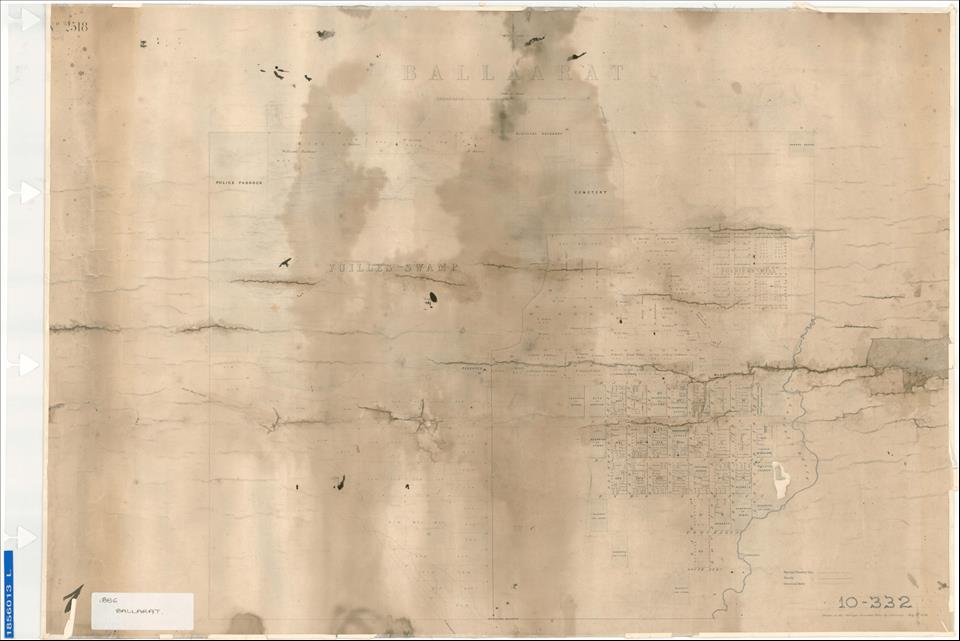
Our new interactive map, Yarrowee River History: Peel to Prest (which takes its name from the two streets that serve as borders for the mapping), interrogates the long-term effects of this water diversion on community and Country.
A collaboration between Federation University, the Wadawurrung Traditional Owners Aboriginal Corporation and the city of Ballarat, our project overlays historical maps with Google Maps to illustrate how the area changed.
Read more: Victoria's gold rush ended in the 19th century. So why are people still finding so much gold?
'We inherit the scars of this trauma'In Ballarat, water is deeply significant to the culture of the area's First Nations inhabitants, the Wadawurrung people, who stewarded these lands and waterways for millennia.
So we wanted people using our interactive map to ponder the cultural significance of these gold rush impacts to the Wadawurrung people and the environment.
For the Wadawurrung people, the watercourse now known as the Yarrowee River carries profound historical meaning.
This river bore the names Yaramlok and Narmbool, and these names were used interchangeably to reference different segments of the Yarrowee.
The river wasn't merely a physical entity – it was a symbol of spiritual and cultural significance, the life force which flows through Country.
It supported fishing, agriculture and food gathering. It symbolised the deep and harmonious connection with dja (Country) and the precious resource of ngubitj (water).
The river diversion affected the Wadawurrung profoundly. As two of us (Shannen Mennen and Kelly Ann Blake) write on the Yarrowee River History: Peel to Prest site:
Colonial settlers altered the river
This photograph taken around 1850 shows the river in what was to become the gold mining town of Ballarat. Niven, Francis/University of Melbourne Archives
The Wadawurrung people involved in this project hope it fosters interconnectedness between the waterway, our human ancestors, creator beings and all living things.
It is also crucial in working towards reconciliation by helping people understand the devastating environmental destruction wrought by the gold rush for the First Nations people of the region and the deep connection between culture, heritage and the landscape.
Effluent, flooding and typhoidWhen one looks at the sheer scale of the transformation of Ballarat and district wrought by the gold rush, the level of environmental destruction is almost beyond comprehension.
Vast forested tracts of land were felled of trees, the topsoil dug up and blown away, the earth ripped open by deep tunnelling. Imported sheep began to harden the soil (disrupting native plants) and consuming the Murrnong plants, whose roots were a staple of the Wadawurrung people.
Moving the river made the area prone to disastrous flooding as water was diverted away from floodplains. Land was polluted by effluent and chemical residue from mining. This led to multiple outbreaks of disease. As one contributor to the Ballarat Star wrote at the time:
A photo from the local mountain, known as Black Hill, in 1860 perhaps best gives rise to the scale of the change to Ballarat once miners arrived. Trove/The National Library of Australia
This project aims to draw attention to the absolute centrality of the waterways to Australia's history and continual sustainable environmental management.
Mapping the transformation of Australia's waterways since colonisation is crucial to understanding the long term effects of changes we make to our environment.
Read more: Flashers, femmes and other forgotten figures of the Eureka Stockade

Legal Disclaimer:
MENAFN provides the
information “as is” without warranty of any kind. We do not accept
any responsibility or liability for the accuracy, content, images,
videos, licenses, completeness, legality, or reliability of the information
contained in this article. If you have any complaints or copyright
issues related to this article, kindly contact the provider above.


Comments
No comment