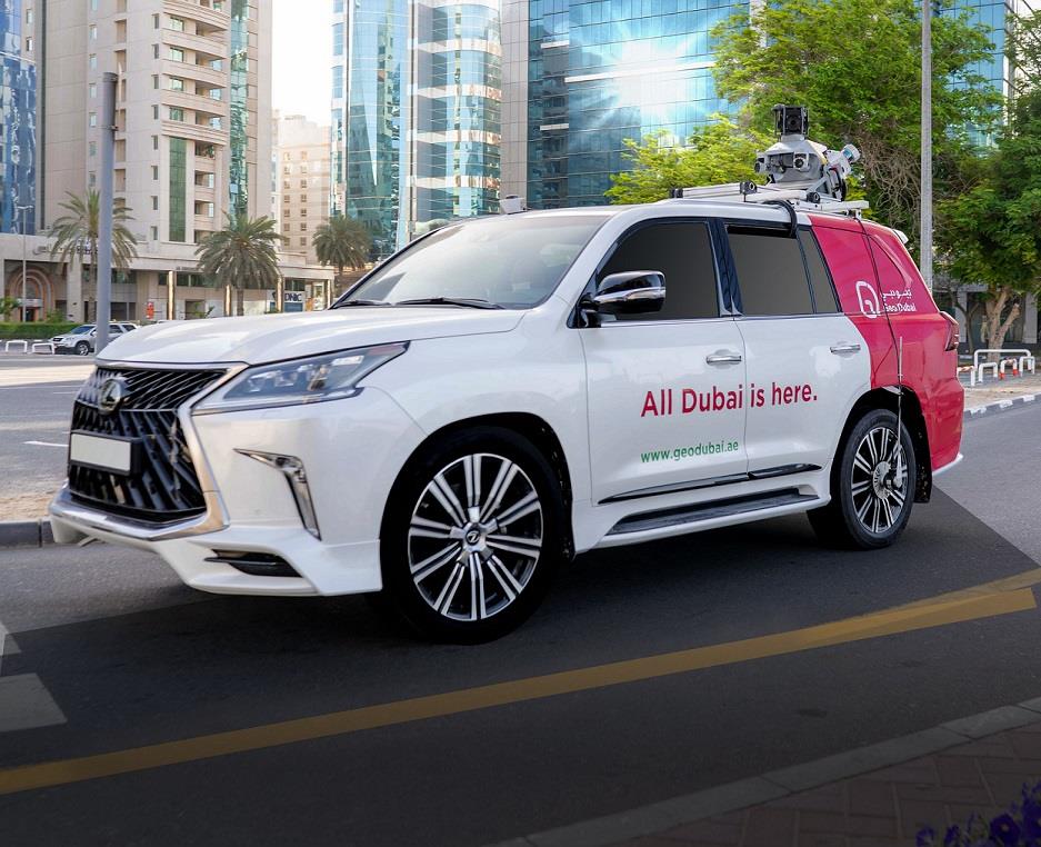
Dubai Municipality Launches Highly Precise Digital Map Project For Autonomous Vehicles
Dubai Municipality's Geographic Information Systems (GIS) Centre, the official source for providing and updating maps, plans and geographic information for the Emirate of Dubai, has initiated the project of designing highly precise digital maps for autonomous vehicles. This step comes in line with the ambitions and visions of the smart Dubai government to promote digital transformation of public utilities and make Dubai“the best city to live” in the world as well as strengthening Dubai Municipality vision of making it the pioneering global city.
Objectives
The project targets preparing and designing maps as per the best standards and international practices, reflecting the emirate's spirit of innovation and creativity. These maps are set to be utilized by businesses offering specialized solutions for autonomous vehicles, which are perceived to constitute most of Dubai's transportation in the future.
Continuous coordination
Dubai Municipality's GIS Centre continues to coordinate with partners and concerned entities to promote integrated concepts of highly precise maps. Such efforts aim to ensure optimum implementation of the maps in line with the specific standards and requirements, hence allowing map users to enjoy a unique and exceptional driving experience.

Legal Disclaimer:
MENAFN provides the
information “as is” without warranty of any kind. We do not accept
any responsibility or liability for the accuracy, content, images,
videos, licenses, completeness, legality, or reliability of the information
contained in this article. If you have any complaints or copyright
issues related to this article, kindly contact the provider above.


Comments
No comment