Thanksgiving Weather: Potent Winter Storm May Bring 7 Inches Of Snow US Travellers Brace For Delays- Details
According to the National Weather Service (NWS), rain will turn to heavy snow from west to east this afternoon and tonight, adding, travel could be very difficult as areas of blowing snow could significantly reduce visibility.
The weather department said that a potent storm system will move across the area and periods of heavy snow are expected with rates of around an inch per hour at times.
“The heaviest totals will be found across central Minnesota and northwest Wisconsin, where around 6 inches are expected. Farther south across southern Minnesota and parts of west central Wisconsin, 1 to 3 inches are expected,” NWS said.
Also Read | Thanksgiving travel: Amid millions on roads, here are key safety tips to followThe Winter Storm Warning remains in effect for central and most of southern Minnesota and northwest Wisconsin. A total snow accumulations of 2 to 4 inches is expected in the south of Willmar, and 4 to 7 inches in the north.
NWS stated that the polar air will engulf much of the central and eastern US by Thanksgiving morning behind the cold front as the huge circulation of the low pressure system begins to exit into southeastern Canada.
Much of the central and eastern US will be milder than normal before the arrival of the polar air mass. The western US will generally be milder than normal following a brief cool down across the Northwest.
In Georgia, severe thunderstorm warning continues for Atlanta, Sandy Springs, Rome, Carrollton, Marietta, Douglasville, Kennesaw, Roswell.
Also Read | Thanksgiving 2025 shopping guide: Which clothing stores are open or closed? What will be the impact?– The weather department said that visibilities may drop below 1/4 mile due to falling and blowing snow.
- The hazardous conditions will impact commute on Tuesday evening and Wednesday morning.
- Gusty winds could bring down tree branches.
Also Read | Thanksgiving Travel in US threatened by coast-to-coast storms, cold surge Regions to see impact:From 3PM to 9AM CST Wednesday: Benton, Kandiyohi, Meeker, Morrison, Renville, Stearns, Kanabec, Mille Lacs, Redwood, Chippewa, and Yellow Medicine Counties.
From noon to 6 AM CST Wednesday: Todd, Douglas, Lac Qui Parle, Pope, Stevens, and Swift Counties.
From 6 PM to 9 AM CST Wednesday: Portions of central, east central, and south central Minnesota and northwest Wisconsin.
From 9 PM to 9 AM CST Wednesday: In Minnesota, Dakota, Ramsey, Washington, Rice, Steele, and Waseca Counties. In Wisconsin, Barron, Rusk, and St. Croix Counties.
- Heavy lake effect snow is expected with accumulations between 12 and 20 inches and 20 and 30 inches for northern Iron County and for northern Bayfield County, respectively.
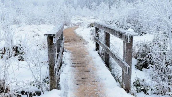
View full ImageSnow to affect Minnesota and Wisconsin.
Also Read | Thanksgiving 2025: Restaurants that will remain open on federal holiday
Thanksgiving travel: What precautions to take?
- Delay all travel if possible. Drive with extreme caution if travel is absolutely necessary and be prepared for sudden changes in visibility.
- Leave plenty of room between you and the motorist ahead of you, and allow extra time to reach your destination.
- Avoid sudden braking or acceleration
- Be cautious on hills or when making turns.
- Make sure your car is winterized and in good working order.
- Keep an extra flashlight, food, and water in your vehicle in case of an emergency.
Legal Disclaimer:
MENAFN provides the
information “as is” without warranty of any kind. We do not accept
any responsibility or liability for the accuracy, content, images,
videos, licenses, completeness, legality, or reliability of the information
contained in this article. If you have any complaints or copyright
issues related to this article, kindly contact the provider above.


Comments
No comment