Nearly 47 Million Americans Live Near Hidden Fossil Fuel Sites, Study Warns
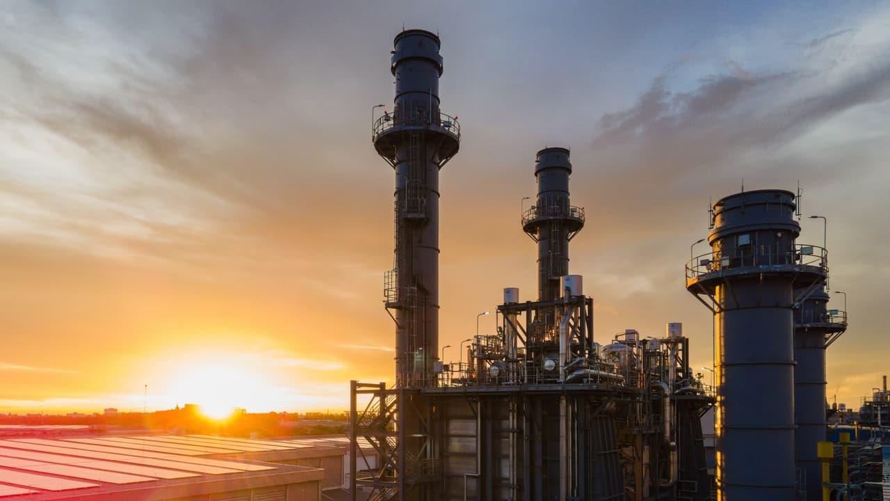
A new nationwide analysis reveals a vast, often overlooked fossil fuel network woven through neighborhoods, cities, and rural regions across the United States. According to Boston University researchers, 46.6 million people-14.1% of the U.S. population-live within roughly a mile of wells, pipelines, refineries, storage tanks, or transport hubs. These sites form a sprawling“mid-supply chain” that most people rarely notice, even though they operate quietly around their homes, schools, and workplaces.
While extraction rigs and power plants are familiar images, they represent only the beginning and end of a much longer journey. Between them lies a maze of refineries, compressors, terminals, and underground storage facilities-many of which can release toxic pollutants or suffer sudden leaks. The study calls this network“hidden in plain sight,” stressing how little the public knows about it.
Health Concerns and Unequal Exposure
What makes the findings more urgent is the lack of research on how these mid-supply-chain facilities affect health. While past studies link proximity to wells or power plants with asthma, adverse birth outcomes, and potentially leukemia, the middle stages remain a scientific blind spot. Researchers note that these sites can emit volatile organic compounds, particulates, or methane, sometimes consistently and sometimes during unexpected blowouts.
The study also reveals clear inequities: predominantly non-white communities face higher exposure at every stage of the fossil fuel supply chain. Urban areas bear the heaviest burden, with nearly 90% of people living close to refining, storage, and transport sites concentrated in cities. A single storage facility, for example, has an average of 2,900 residents living within a mile-compared to just 17 around the average extraction site. This imbalance suggests that urban policymakers could make meaningful improvements by targeting even a small number of facilities.
A New Database to Shape Future Policy
The research is the first to use the Energy Infrastructure Exposure Intensity and Equity Indices (EI3), a national database developed to unite scattered federal, state, and private datasets. Before EI3, no central resource could clearly map the full fossil fuel network. The study was published in the journal Environmental Research Letters.
Researchers hope the findings push governments and agencies to investigate pollution hotspots, reassess zoning rules, and monitor air, water, and noise conditions more rigorously. They believe this work opens the door to better health studies-and, ultimately, policies that protect the millions living next to infrastructure they may not even know exists.
Legal Disclaimer:
MENAFN provides the
information “as is” without warranty of any kind. We do not accept
any responsibility or liability for the accuracy, content, images,
videos, licenses, completeness, legality, or reliability of the information
contained in this article. If you have any complaints or copyright
issues related to this article, kindly contact the provider above.


Comments
No comment