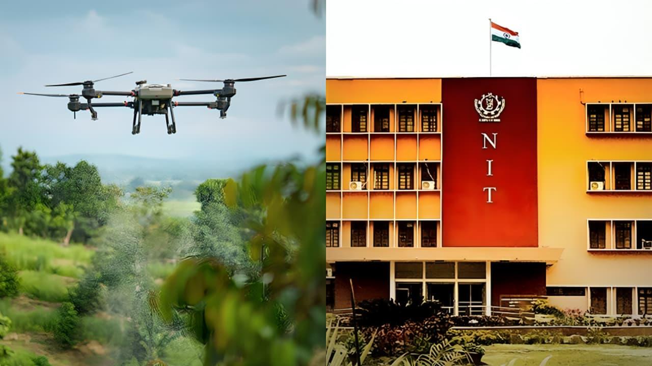
How NIT Rourkela's AI Drone Could Change Land Mapping, Farming And Disaster Response In India
Researchers at the National Institute of Technology (NIT) Rourkela have received a patent for“BHU-MANACHITRA”, an autonomous drone system that can create real-time land maps without internet, external computers, or manual support. Officials said this is India's first such innovation, and it is set to change how land mapping is done across the country.
The team said the system uses a mix of Artificial Intelligence (AI) and Unmanned Aerial Vehicle (UAV) technology to map land features on the spot. This makes the drone capable of recognising farmlands, forests, vegetation, roads, buildings, and urban areas in real time.
Why land mapping matters
Land mapping plays a major role in the governance and planning of any country. It helps in:
- Organising land records Planning roads, homes, and cities Managing forests and natural resources Watching changes in the environment
In India, land mapping still depends largely on manual surveys. These surveys can take weeks or even months to complete. Even when drones are used to take images, the photos must be processed in a lab before they can be turned into usable maps. This delay often affects planning, development work, and emergency response.
Fixing global challenges with deep learning
According to news agency Press Trust of India, Dr Sambit Bakshi, Associate Professor in the Department of Computer Science and Engineering at NIT Rourkela, said that although deep learning models are improving across the world, they still struggle when several objects like roads, trees, houses and fields appear together in one image.
He said these models often create unstable or inaccurate maps, especially during real-time use. To solve this, the NIT team developed a new deep-learning model that helps the drone identify land features instantly, even when many objects appear at once.
A drone that thinks on its own
Unlike regular drones, which only collect images for later study, BHU-MANACHITRA can process everything on the drone itself. This makes it useful in remote villages, disaster-hit zones, forests or hills without network coverage and areas with poor electricity or computer access.
This on-board processing is possible because the team created a lightweight AI model with only 2.48 million parameters. Drones cannot carry heavy computers, but they can carry a small processor that runs this light model. This makes real-time land mapping possible without extra equipment.
Large impact across sectors
Officials and researchers said the innovation can support several government departments and national programmes. Some uses include:
Government and planning
The drone can assist in land record modernisation, city planning, and smart-city projects. It can help officials check boundaries, update land records, and inspect urban growth more quickly.
Agriculture
Agriculture departments can study crop health, soil conditions, and irrigation needs immediately. This can help farmers improve productivity and reduce wastage.
Disaster response
In floods, earthquakes, or landslides, the drone can give quick information on damaged areas, blocked roads, or unsafe zones. This can help rescue teams plan faster and save more lives.
Forest and environment
Environmental and forest departments can track deforestation, illegal encroachment, and changes in wildlife habitats more effectively.
New possibilities for India
Dr Bakshi said the innovation opens new paths for better decision-making, improved resource use, and stronger disaster preparedness. Because it can serve many sectors, agriculture, planning, forestry, and disaster response, the system can help India build faster, safer, and more accurate field-level operations.
He added that BHU-MANACHITRA has the potential to support national goals, including the Digital India Land Records Modernisation Programme (DILRMP), which began in 2016 to digitise land maps and records across the country.
Legal Disclaimer:
MENAFN provides the
information “as is” without warranty of any kind. We do not accept
any responsibility or liability for the accuracy, content, images,
videos, licenses, completeness, legality, or reliability of the information
contained in this article. If you have any complaints or copyright
issues related to this article, kindly contact the provider above.


Comments
No comment