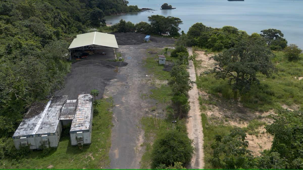
Images Reveal Disappearance Of Beams One Day After Elections
“What we are looking for is to establish the pattern of activity in a particular area and detect the disruption of that pattern,” he said.
During the first months of 2024, no unusual activity was observed.“Before March, we had not seen any kind of movement in the area. A car in a place where there were no vehicles before draws attention,” said Díaz.
However, on May 6, the situation changed dramatically as pictured above. Images showed a crane at the depot, although the purpose of its presence was still unclear. This was one of the first indications that something significant was going on.
By June 7 pictured below, satellite images showed considerable activity in the area. Two cargo trucks were present, and the area, once filled with materials, was now completely clear.“It is already evident here that an extraction operation is taking place,” Diaz said.
Zooming in on the images, experts observed a pick-up-type vehicle that appeared to be supervising the operation.“This vehicle gives us a clue that this is not an improvised action, but a well-organized and planned operation,” Díaz added.
On June 21, images showed that the area was completely cleared. There was no trace left of the beams or the extraction equipment. This was the end point of the operation, which began in May and lasted for several weeks.
The information obtained through satellite images was presented by Díaz to the MOP. Díaz explained that the approach was made through the ministry's legal advisor, who showed interest in the subject and organized a presentation.
The7th of June 2024 at 10:55am pictured below, there is lots of activity with a pickup truck that appears to be in charge of the operation and the cargo trucks are hauling away the beams.
Díaz has also offered his collaboration to the Public Prosecutor's Office to provide additional details about the images and analysis obtained.“This type of technology is key for investigations of this nature, especially when clear evidence is needed,” he said.
Díaz's company has used satellite images in various projects, such as environmental monitoring, border security and infrastructure monitoring. One notable case was the analysis of an oil spill in Taboga, where they applied advanced techniques to identify the extent of the damage.
In other countries, such as Costa Rica, the technology has been used to monitor the oil pipeline that crosses the country.“This technology has made it possible to detect sabotage attempts before they occur, which has prevented million-dollar losses and environmental risks,” explained Díaz.
Díaz also explained the differences between Google Earth images and those of Maxar.“Google is a Maxar client, but the images it uses are not the most accurate or up-to-date. Maxar offers a much more detailed service with greater capacity for customization,” he clarified.
For his part, the director of the National Police, Jaime Fernández, said that they are carrying out an investigation and that they have already identified several of those involved in this incident.“These beams are very heavy. This had to be well orchestrated with a lot of logistics and equipment,” Fernandez said. Police are following the new clues.

Legal Disclaimer:
MENAFN provides the
information “as is” without warranty of any kind. We do not accept
any responsibility or liability for the accuracy, content, images,
videos, licenses, completeness, legality, or reliability of the information
contained in this article. If you have any complaints or copyright
issues related to this article, kindly contact the provider above.


Comments
No comment