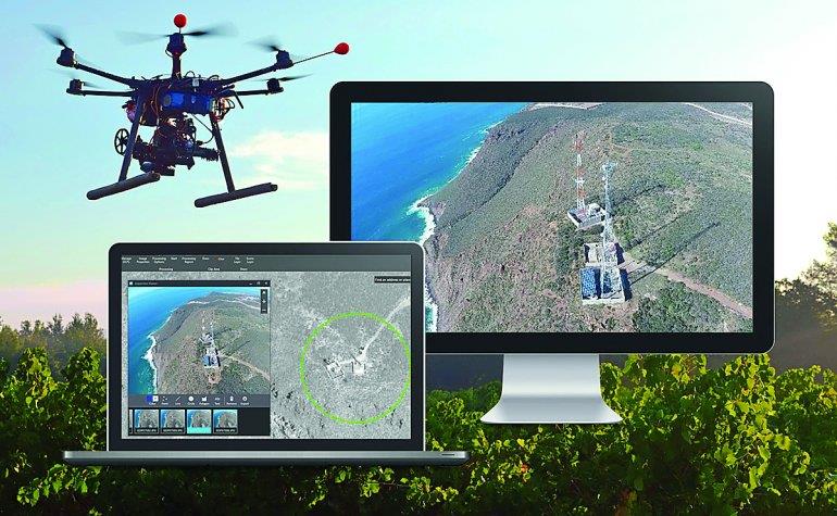
Qatar- Ministry to use drone for preparing digital maps
The Ministry of Municipalities and Environment, represented by the Geographic Information System (GIS) Center, organised a workshop on the production of digital maps using unmanned aerial vehicles (UAV).
The workshop was attended by a large number of specialists and stakeholders from ministries and government institutions concerned.
The workshop discussed the advantages of using UAV in producing aerial images, digital maps and 3D models with high speed and accuracy. The workshop also addressed a number of subjects including the uses of the 'Drone to Map software for aerial photography by UAV and to create and updated digital maps and obtains the 3D model of Earth's surface elements.
The workshop discussed that air image processing and increasing accuracy of data through ground control points and production of digital elevation model and contour lines through topographic data and making digital maps, aerial photos and 3D model generated through Internet applications and mobile devices.
Meanwhile, on the occasion of the International Day of Geographic Information Systems (GIS) that was on November 15, the GIS Center will organise a program on November 22 at the InterContinental Hotel Doha City.
The event will be attended by the representatives from a number of ministries and government institutions. They will share their experiences regarding this innovative technology and solutions.

Legal Disclaimer:
MENAFN provides the
information “as is” without warranty of any kind. We do not accept
any responsibility or liability for the accuracy, content, images,
videos, licenses, completeness, legality, or reliability of the information
contained in this article. If you have any complaints or copyright
issues related to this article, kindly contact the provider above.


Comments
No comment