


403
Sorry!!
Error! We're sorry, but the page you were looking for doesn't exist.

How The Bible Spread The Idea Of Countries With Borders
(MENAFN- Asia Times)
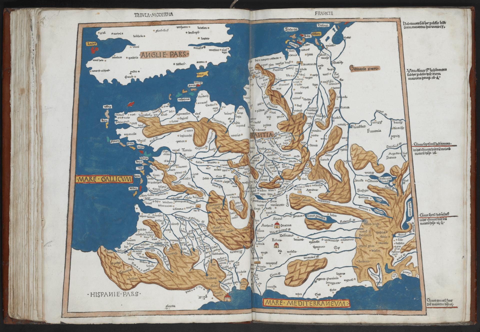
Five hundred years ago the first Bible featuring a map was published. The anniversary has passed uncelebrated, but it transformed the way that Bibles were produced. The map appeared in Christopher Froschauer's 1525 Old Testament, which was published in Zürich and widely distributed in 16th-century central Europe.
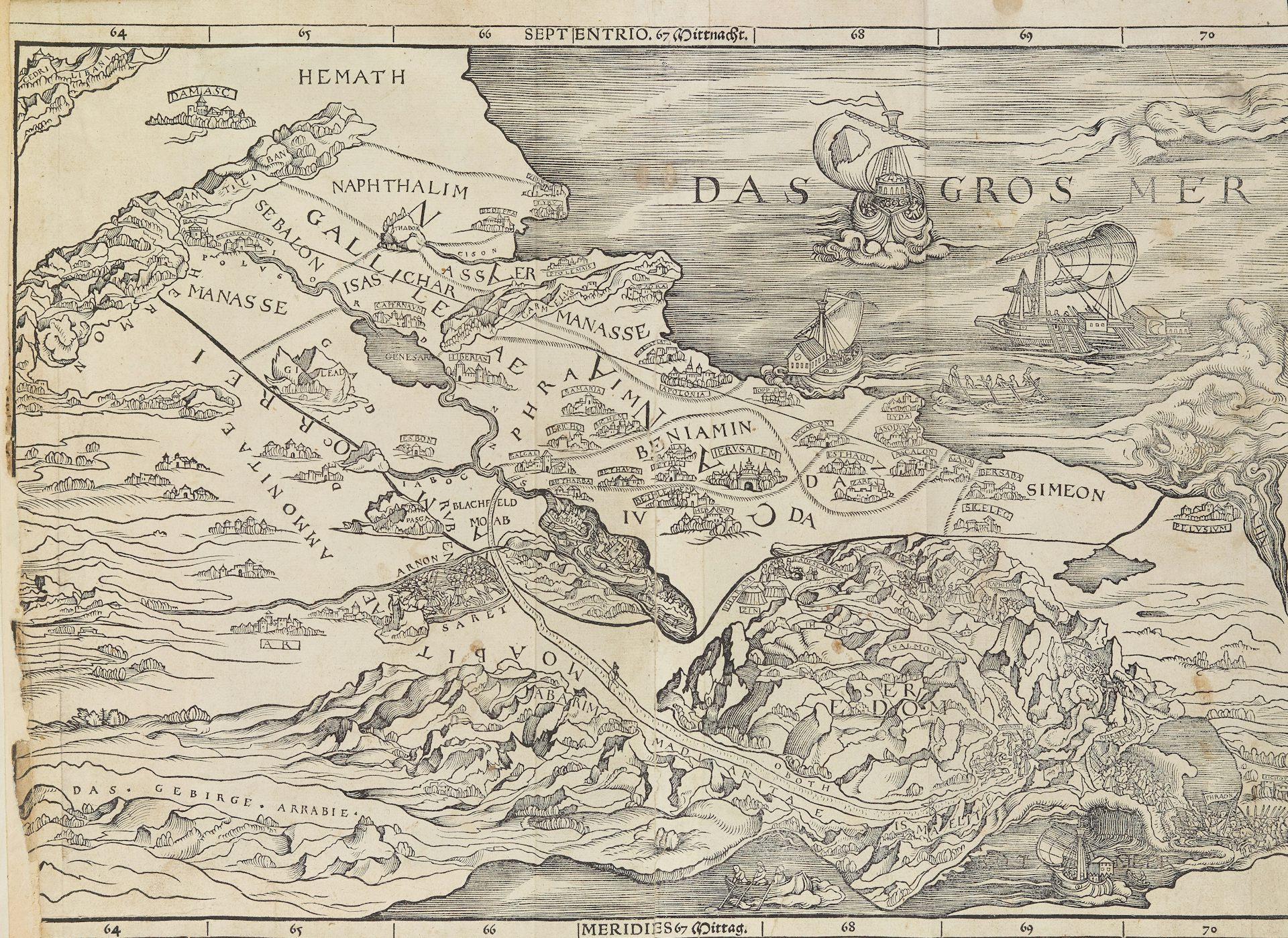
Lucas Cranach the Elder's map of the Holy Land in Christopher Froschauer's Old Testament. The Wren Library, The Master and Fellows of Trinity College, Cambridge, CC BY-SA
Yet despite being a groundbreaking moment in the Bible's history, the initial attempt was hardly a triumph.
It is flipped along the north-south axis (meaning it's back to front). As a result, the Mediterranean appears to the east of Palestine, rather than to the west. It illustrates how little many in Europe knew about the Middle East that such a map could have been published without anyone in the printer's workshop questioning it.
The map had originally been drawn about a decade earlier by the celebrated Renaissance painter and printmaker Lukas Cranach the Elder, based in Wittenberg in latterday Germany.
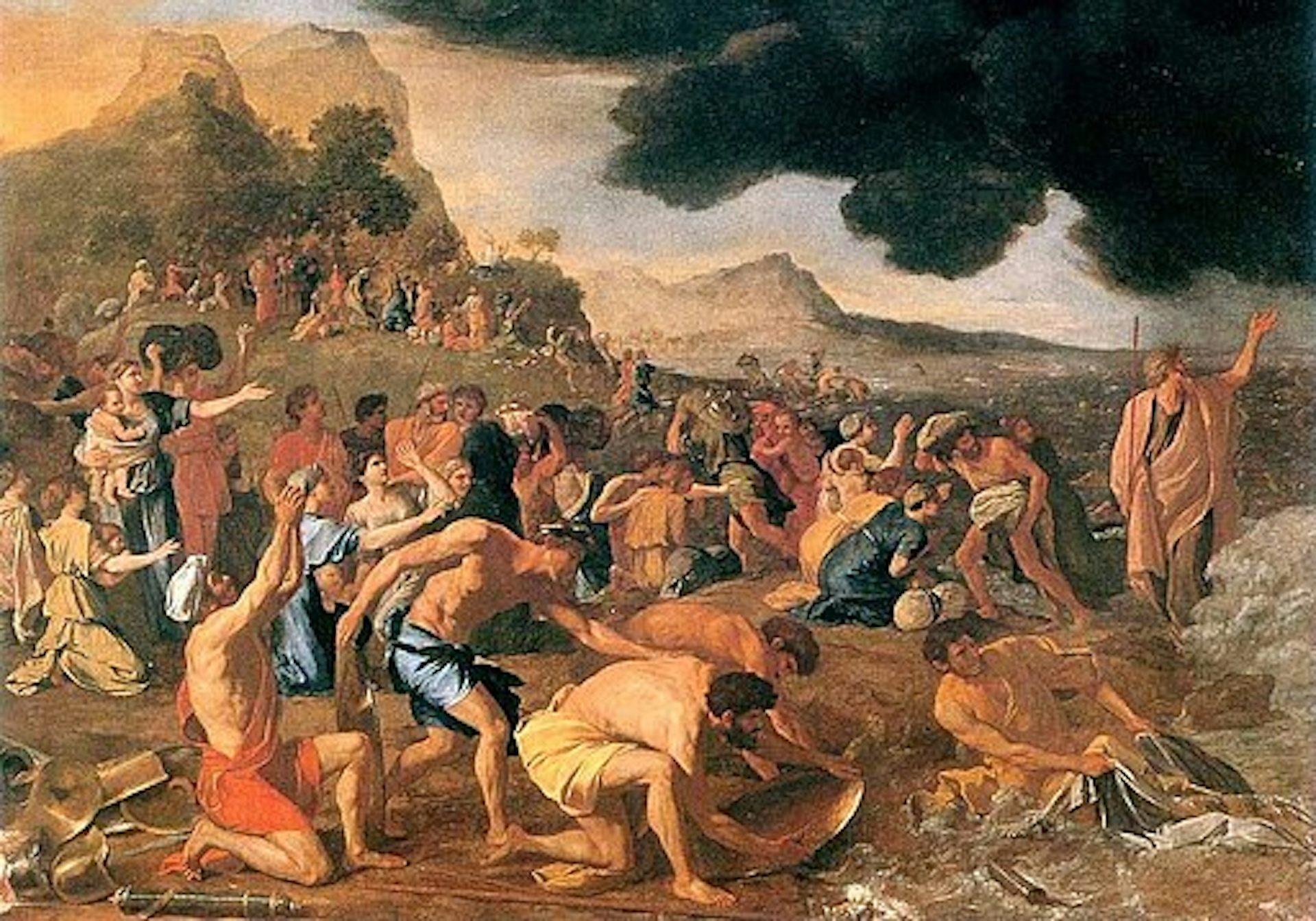
Written in Latin, it shows Palestine with various important holy sites such as Jerusalem and Bethlehem. At the bottom, you can see the mountains of Sinai and the path taken by the Israelites as they escaped slavery in Egypt.
Lucas Cranach the Elder's map of the Holy Land in Christopher Froschauer's Old Testament. The Wren Library, The Master and Fellows of Trinity College, Cambridge, CC BY-SA
Look closely and you can see the Israelites and their tents, plus various vignettes of the events on their journey. The landscape is more European than Middle Eastern, though, reflecting the printmakers' ignorance of this region.
There are walled towns with numerous trees and, in contrast with reality, the Jordan meanders rather more dramatically towards the Dead Sea, and the coastline has more bays and coves.

Legal Disclaimer:
MENAFN provides the
information “as is” without warranty of any kind. We do not accept
any responsibility or liability for the accuracy, content, images,
videos, licenses, completeness, legality, or reliability of the information
contained in this article. If you have any complaints or copyright
issues related to this article, kindly contact the provider above.
Most popular stories
Market Research

More Story


Comments
No comment