Kazakhstan To Turn Over New Leaf In Farmland Management With AI And Satellite Tech
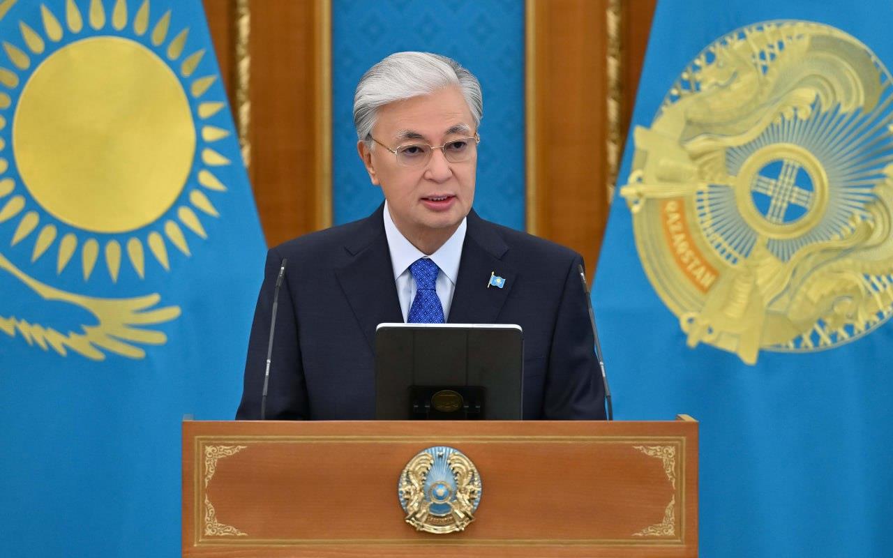
As the President of Kazakhstan noted, the strategic resource that should serve the development of the country and the welfare of all citizens is, without a doubt, the land.
“I have initiated large-scale work on the withdrawal of unused and illegally acquired agricultural lands with their subsequent redistribution. Land should not remain ownerless; it should be given only to those who recognize its value,” said Tokayev.
Tokayev also highlighted that since the year 2022, an impressive
total exceeding 13.5 million hectares of arable land has been
reinstated within the territorial confines of Kazakhstan.
“Nevertheless, a mere 6 million hectares of the reverted territory
have been allocated to novel land utilizers by the akimats (local
governance bodies). It is evident that previously underutilized
agrarian terrains ought to be transformed into hubs of
productivity, capital infusion, and workforce engagement.
Consequently, the objective for the akimats is to facilitate the
reintegration of all reverted agricultural territories into a state
of perpetual circulation by the midpoint of 2026. This initiative
will additionally address the issue of forage deficiencies,” stated
Tokayev.
The president asserts that to eradicate systemic abuses and
bureaucratic inefficiencies in land relations, a paradigm shift in
the operational framework for the allocation of agricultural land
is imperative.
“Decisions on land distribution should be made digitally based on electronic tenders. The government must propose the corresponding legislative changes by the end of the year. It is especially important to use digital technologies more broadly in this area. Already, space monitoring and geoanalytics help identify unused lands and return them to circulation. We need to move further,” he added.

Legal Disclaimer:
MENAFN provides the
information “as is” without warranty of any kind. We do not accept
any responsibility or liability for the accuracy, content, images,
videos, licenses, completeness, legality, or reliability of the information
contained in this article. If you have any complaints or copyright
issues related to this article, kindly contact the provider above.
Market Research

- Gas Engine Market Analysis: Strong Growth Projected At 3.9% CAGR Through 2033
- Daytrading Publishes New Study On The Dangers Of AI Tools Used By Traders
- Excellion Finance Launches MAX Yield: A Multi-Chain, Actively Managed Defi Strategy
- United States Lubricants Market Growth Opportunities & Share Dynamics 20252033
- ROVR Releases Open Dataset To Power The Future Of Spatial AI, Robotics, And Autonomous Systems
- Blackrock Becomes The Second-Largest Shareholder Of Freedom Holding Corp.


Comments
No comment