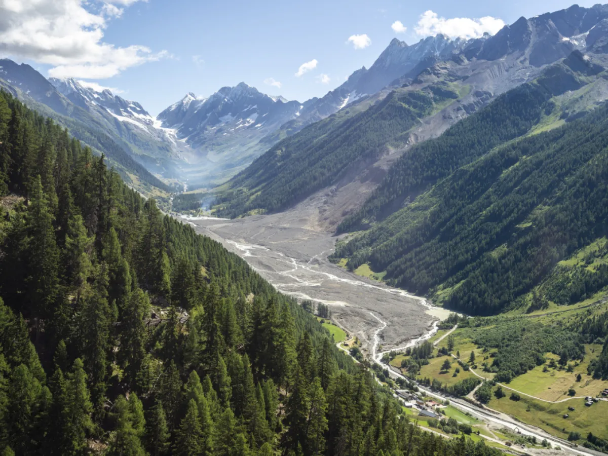
Satellite Images Detect Signs Of Blatten Landslide In 2016
-
Français
fr
Blatten: des mouvements de terrain visibles dès 2016 par satellite
Original
Read more: Blatten: des mouvements de terrain visibles dès 2016 par satellit
According to the images, the slope on the Petit Nesthorn mountain above Blatten was already moving in 2016. These movements then increased steadily over the years before becoming much stronger leading up to the disaster in May, the ESA said on Friday.
“Our analysis confirms that the movements of the Petit Nesthorn developed over several years before the collapse,” said Andrea Manconi of the WSL Institute for Snow and Avalanche Research (SLF), who was involved in the ESA's“Modulate” project, which analysed images taken by two satellites between 2016 and 2024.
“Results such as these help us to see more clearly how satellite data can be used for early detection,” Manconi was quoted in the press release as saying.
More More Blatten: what price for preserving Swiss mountain life?This content was published on Jun 11, 2025 Swiss debates on preserving Alpine life have intensified following the Blatten glacier collapse. Discover the discussion shaping mountain village futures.
Read more: Blatten: what price for preserving Swiss mountain life
Legal Disclaimer:
MENAFN provides the
information “as is” without warranty of any kind. We do not accept
any responsibility or liability for the accuracy, content, images,
videos, licenses, completeness, legality, or reliability of the information
contained in this article. If you have any complaints or copyright
issues related to this article, kindly contact the provider above.


Comments
No comment