


403
Sorry!!
Error! We're sorry, but the page you were looking for doesn't exist.

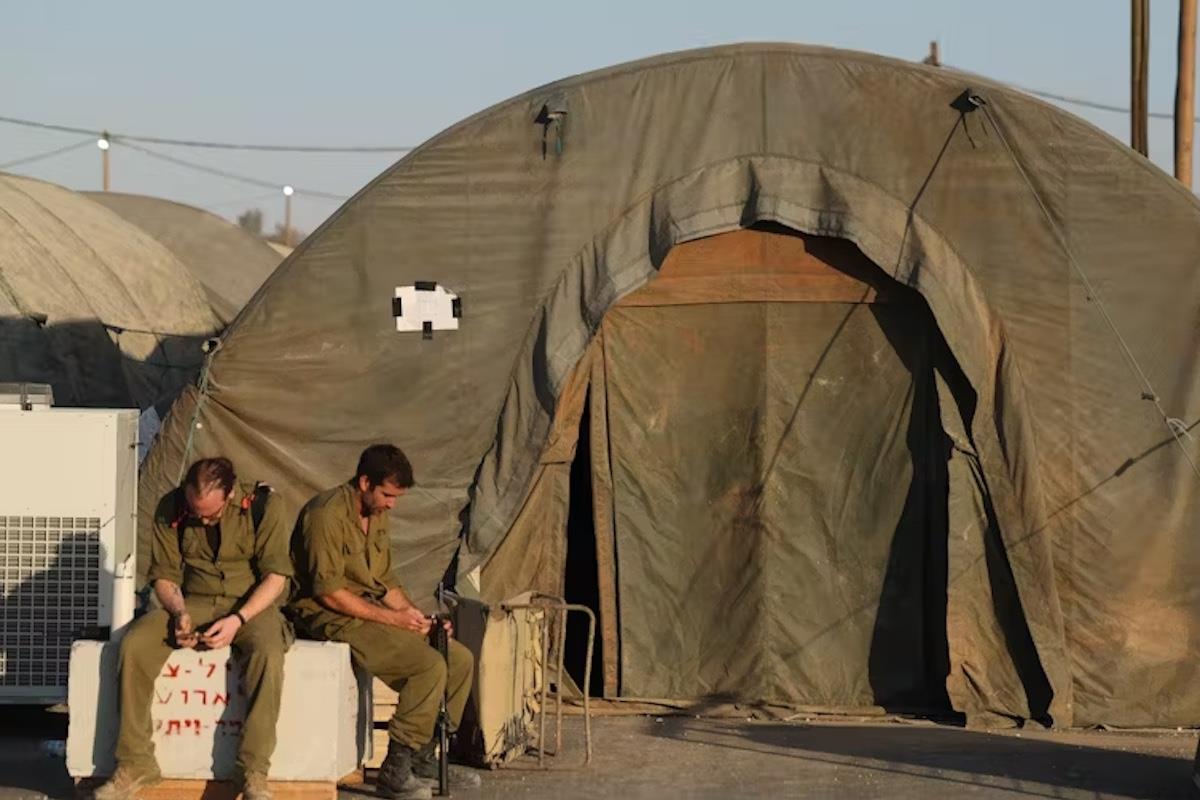
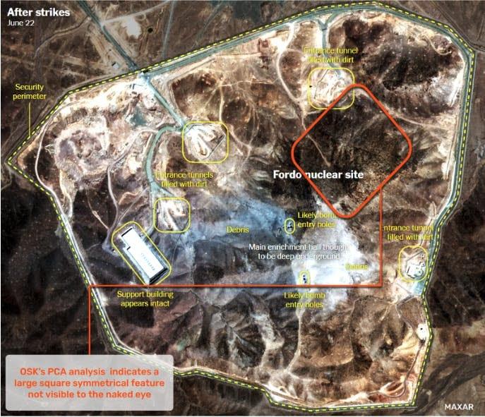
New Technology May Confirm Destruction At Iran's Fordow Nuke Site
(MENAFN- Asia Times)
A new study using advanced sensing technology has taken a fresh look at the damaged Iranian nuclear site, Fordow, and found a great deal of damage indeed. It is not the first time that satellite technology has revealed important strategic security information.
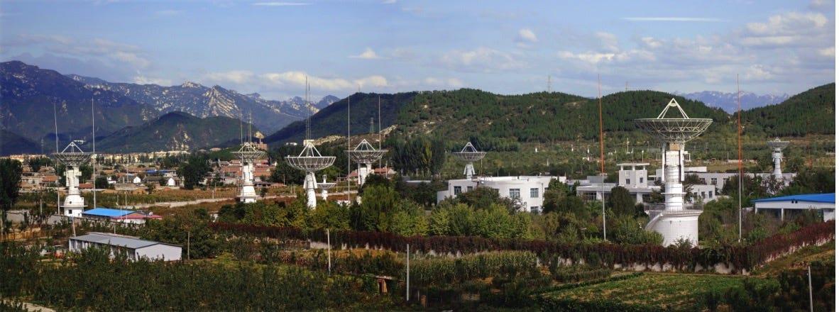
Miyun Ground Station, China (1986)

Great Hall of the People, Beijing
Russia-China border area (white outline)
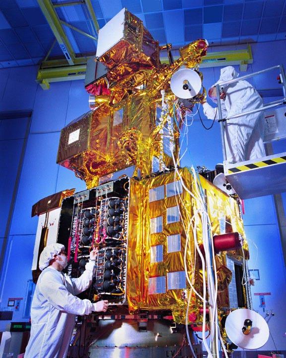
The Landsat system, launched in July, 1972, was initially called the Earth Resources Technology Satellite. It would be rebadged as Landsat 1. Landsat is the longest-running satellite system in the world, with the most recent Landsat (Landsat 9) launched in 2021.
I have a Landsat image given to me by the Chinese Academy of Sciences. It is an image of the island of Taiwan. It was presented to me at a dinner at the Great Hall of the People in 1986. I was in China, reluctantly, in that year to participate in dedicating a Landsat ground receiving station (situated about a half-hour car ride north of Beijing) and, in Beijing, an analysis and interpretation center.
Landsat is a multispectral imaging satellite. It included a camera made, then, by RCA and a multispectral scanner, made by Hughes.
Landsat can track changes on the earth, including forecasting crop harvests or revealing damage from storms, earthquakes, floods and other changes on the earth's surface.
Supposedly Landsat was not for any military use. Officials thought that its weak image resolution, of around 30 meters, precluded using Landsat to track military developments.
Miyun Ground Station, China (1986)
Multispectral (MSS) means that detailed information across multiple, specific wavelength bands of the electromagnetic spectrum – beyond visible light, into ultraviolet (UV) and infrared (IR) – can reveal characteristics invisible to the human eye.
Great Hall of the People, Beijing
At the dinner, my hosts also gave me a“present” for then-Secretary of Defense Caspar Weinberger. It was a framed photo showing the area of the USSR bordering China. The image clearly revealed the location of Soviet nuclear-armed missile bases aimed at China.
Russia-China border area (white outline)
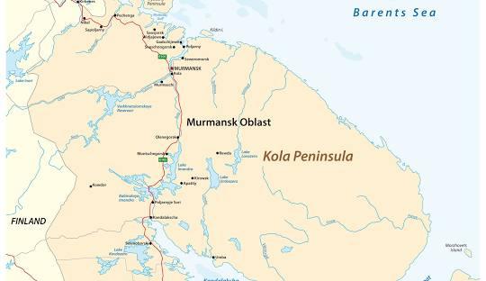
In 1986, the Norwegian Institute of International Affairs (NUPI) used Landsat imagery to begin its first study of military bases in the former Soviet Union. The focus was on the Kola peninsula, which has become even more sensitive since Finland (2023) and Sweden (2024) joined NATO. The Russians are enlarging their military presence on the Kola Peninsula, egged on by Ukrainian drone attacks on a Russian airbase ther .
The 1986 Norwegian study, led by Johnny Skorve and Tomas Ries, identified Soviet missile installations, nuclear test sites and military bases, all using Landsat.
The public, maybe even the government, was not aware of many of these installations.
Global hyperspectral observations system (GHOSt)

Legal Disclaimer:
MENAFN provides the
information “as is” without warranty of any kind. We do not accept
any responsibility or liability for the accuracy, content, images,
videos, licenses, completeness, legality, or reliability of the information
contained in this article. If you have any complaints or copyright
issues related to this article, kindly contact the provider above.
Most popular stories
Market Research

More Story


Comments
No comment