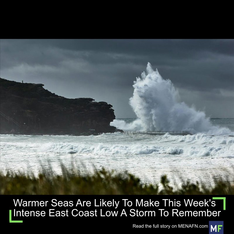
Warmer Seas Are Likely To Make This Week's Intense East Coast Low A Storm To Remember
At this stage, it's expected to linger offshore south of Coffs Harbour – the same area hit hard by unprecedented floods on the Mid-North Coast last month. Residents on the coast or in low-lying areas have been asked to prepare .
There's nothing new about East Coast Lows, intense winter storms which can hit coastlines anywhere from southern Queensland to Tasmania. But what is new are the historically warm seas. Just like a tropical cyclone, East Coast Lows feed on ocean heat. And just like a tropical cyclone, they can intensify rapidly if the conditions are right.
The storm looming this week has been intensifying very fast, to the point it could be classified as a“weather bomb” – a storm undergoing explosive cyclogenesis .
If the storm shapes up as predicted, we can expect to see damage to houses and trees as well as significant beach erosion – especially in heavily populated areas exposed to the storm's southern flank.
The Bureau of Meteorology is issuing warnings about the looming East Coast Low. What to expect from this storm
It's too early to say just how bad this storm will be. Much depends on how intense it becomes and how close it tracks to the coast.
Earlier storms have caused flooding of businesses and properties and significant disruptions to transport networks and electricity supplies.
The Bureau of Meteorology is forecasting strong to damaging winds and moderate to heavy rain for this deepening weather system from Tuesday onwards, and hazardous surf conditions for much of the week.
Sea surface temperatures are 1 to 2.5°C above average off most of the NSW coast. This ocean heat will act as fuel for the storm, boosting the chance of even stronger winds and heavy rain if the centre moves closer to the coast and slows down.
The NSW winter storm is intensifying and is expected to hit the Mid-North Coast on Tuesday 1 July. Bureau of Meteorology East Coast Lows are distinct
Why do winter storms need their own title? East Coast Lows are quite distinct . They're most common in autumn and winter, but they can occur any time.
These weather systems usually form after an upper atmosphere low or deep trough gets stronger over eastern Australia.
This triggers the development of a low pressure system at sea level near the coast to the east of the upper level system. These often intensify rapidly.
During summer, these weather systems can occasionally form in the aftermath of a Coral Sea tropical cyclone as it moves towards the central east coast. By the time the decaying cyclone reaches the cooler waters of the Tasman Sea, it has lost its characteristic warm core . It can now rapidly transition into an East Coast Low.
Two of Australia's most populated areas, Sydney/Central Coast and Brisbane/Gold Coast are in the zone most likely to be affected by these intense storms.
What role is climate change playing?About 90% of all extra heat trapped by greenhouse gases goes into the oceans. The world's oceans are now at their warmest point on record.
Marine heatwaves are causing many unwelcome changes. Warmer waters made South Australia's ongoing devastating algal bloom more likely . A huge marine heatwave hit Western Australia's Ningaloo Reef before heading south. In southeast Australia, the warm East Australian Current is pushing further south , taking warm-water species into Tasmanian waters.
The steady warming of oceans off southeast Australia not only fuels more extreme weather but damages marine ecosystems and commercial fisheries .
As climate change intensifies, researchers have found intense East Coast Lows will actually become less common in the future – but the storms which do form could be more dangerous. A similar trend is likely for tropical cyclones around Australia.
As the world gets hotter still, the intensity of rainfall extremes associated with these weather systems is expected to rise – especially short-duration rainfall.
That means a higher risk of river and flash flooding, more damage from high energy wind and waves along exposed coasts and significant erosion of beaches and cliffs. Damage to the coasts will be worsened by rising sea levels .
Bracing for more extremesIt's been a terrible six months for extreme weather. The year started with severe flooding in northern Queensland in February, followed soon after by Tropical Cyclone Alfred which hit heavily populated parts of southeast Queensland and northern New South Wales.
A couple of weeks later, intense rains devastated western Queensland , causing huge livestock losses. But even as floods hit the east coast, farmers across the continent's southern reaches are struggling with extreme drought .
As the Mid-North Coast braces for yet more extreme weather, residents should heed warnings from the Bureau of Meteorology, visit the NSW emergencies and natural disasters website and listen to information provided by the national broadcaster.

Legal Disclaimer:
MENAFN provides the
information “as is” without warranty of any kind. We do not accept
any responsibility or liability for the accuracy, content, images,
videos, licenses, completeness, legality, or reliability of the information
contained in this article. If you have any complaints or copyright
issues related to this article, kindly contact the provider above.
Most popular stories
Market Research

- Nutritional Bar Market Size To Expand At A CAGR Of 3.5% During 2025-2033
- North America Perms And Relaxants Market Size, Share And Growth Report 2025-2033
- Primexbt Wins Global Forex Award For Best Multi-Asset Trading Platform
- Smart Indoor Gardens Market Growth: Size, Trends, And Forecast 20252033
- Excellion Finance Scales Market-Neutral Defi Strategies With Fordefi's MPC Wallet
- Japan Green Hydrogen Market Size To Reach USD 734 Million By 2033 CAGR Of 27.00%


Comments
No comment