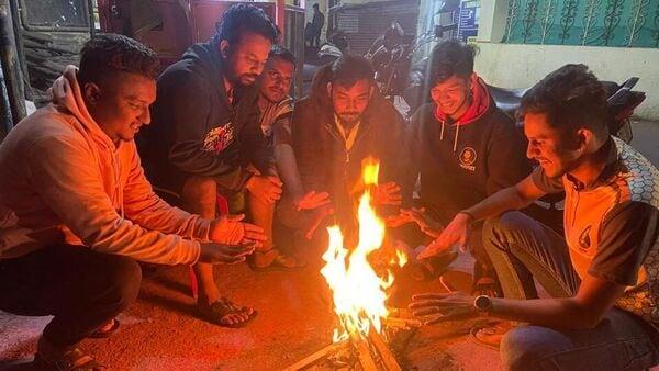
Cold Wave Grips North India, Mercury Dips In Delhi NCR: IMD Predicts Sharp Dip In Temperatures In THESE Regions
“North-westerly winds are blowing and south-easterly winds will blow in North India. There is a possibility of a 1°C to 2°C drop in temperature for Delhi. Cold wave have been recorded in Punjab and Madhya Pradesh. Cold wave will last for one to two days in North and Central India. There is a possibility of an increase in temperature by December 16 to 17.” IMD scientist Dr Soma Sen Roy told ANI.
According to the India Meteorological Department, cold wave conditions are“likely to continue to prevail over northwest India during next five days and over central India next three days”. Winter has also gripped north India with the temperature dropping in various areas amid a fresh spate of snowfall.
Also Read | In Pics | Kashmir shimmers in snow as cold wave sweeps across northern India“Cold wave to severe cold wave conditions very likely in isolated parts over Madhya Pradesh. Cold wave conditions very likely in isolated pockets of JammuKashmir-Ladakh-Gilgit-Baltistan-Muzaffarabad, Himachal Pradesh, Punjab, Haryana-Chandigarh-Delhi, Uttar Pradesh, Rajasthan, Vidarbha, Odisha, Madhya Maharashtra, Marathwada, Saurashtra and Kutch and Telangana. Cold day conditions very likely in isolated places of West Madhya Pradesh,” the Met department predicted for Monday.
Also Read | Tamil Nadu rains: IMD predicts heavy to very heavy rainfall at THESE placesMeanwhile parts of southern India were inundated on Sunday amid heavy rainfall in Tamil Nadu, Puducherry as well as the Andaman and Nicobar Islands.
“A low pressure area is likely to form over southeast Bay of Bengal during next 24 hours. thereafter, it is likely to become more marked and move west-northwestwards towards Tamil Nadu coast during subsequent two days,” the weather department explained in its latest bulletin.
(With inputs from agencies) Legal Disclaimer:
MENAFN provides the
information “as is” without warranty of any kind. We do not accept
any responsibility or liability for the accuracy, content, images,
videos, licenses, completeness, legality, or reliability of the information
contained in this article. If you have any complaints or copyright
issues related to this article, kindly contact the provider above.


Comments
No comment