


Swiss Hiking Associations Unveil New Digital Trail Maps


-
Français
fr
Cartes en ligne pour randonnées hivernales désormais disponibles
Original
Read more: Cartes en ligne pour randonnées hivernales désormais dispon
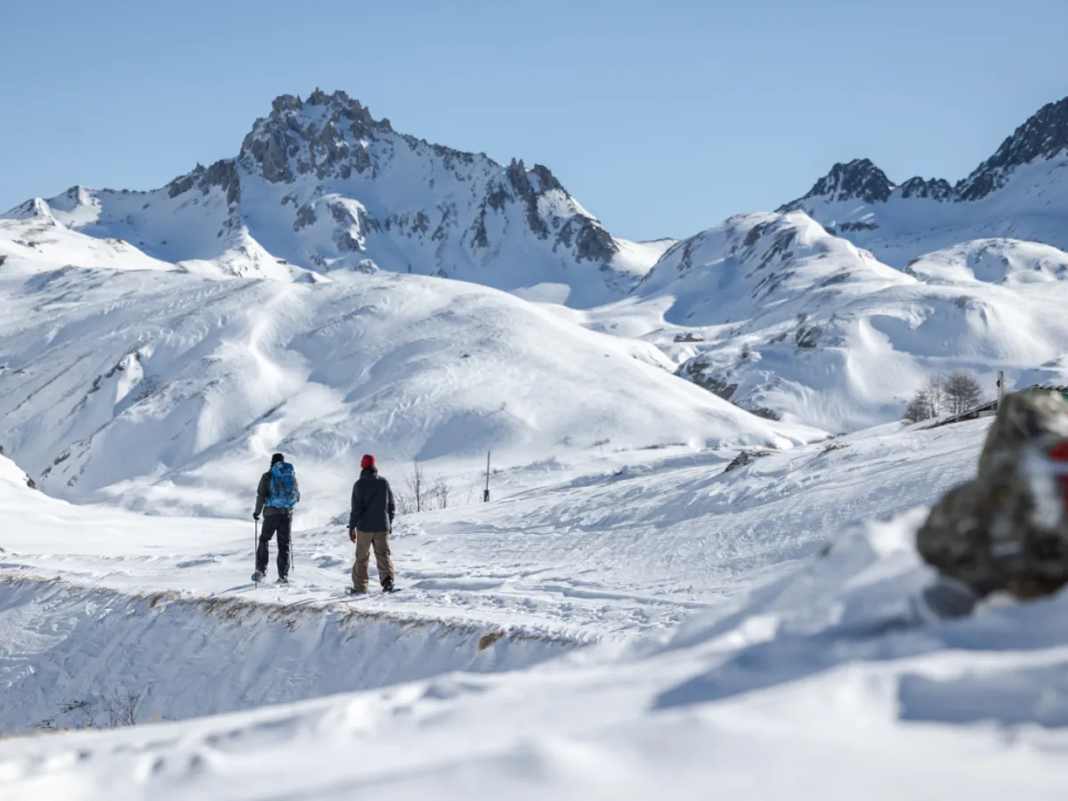
“To date, we have been able to publish data on winter walking trails totalling 3,210 kilometres in length and snowshoe trails totalling 2,330 kilometres in length,” said Thomas Gloor, head of IT and hiking information at the Suisse Rando association.
The full publication of winter walking and snowshoe trails in the cantons of Fribourg, Neuchâtel and Vaud is still pending, he added. The aim is to make these available as soon as possible.
In all, 688 winter walks and 424 snowshoe trails are now digitally mapped. According to the available data, the longest snowshoe trail is located at the Combe de L'A, near Liddes in canton Valais; it is nearly 15km long and takes six hours and 30 minutes to walk. The highest snowshoe trail, the Hohsaas Trail near Saas-Grund, is also in Valais, at an altitude of over 3,000 metres.
More More Climate adaptation Climate concerns cast doubt over the future of Winter OlympicsThis content was published on Feb 16, 2026 As Olympic competition intensifies at Milano–Cortina, global warming is casting a long shadow over the future of the Winter Games.
Read more: Climate concerns cast doubt over the future of Winter Oly
Legal Disclaimer:
MENAFN provides the
information “as is” without warranty of any kind. We do not accept any
responsibility or liability for the accuracy, content, images, videos,
licenses, completeness, legality, or reliability of the information
contained in this article. If you have any complaints or copyright issues
related to this article, kindly contact the provider above.


Comments
No comment