


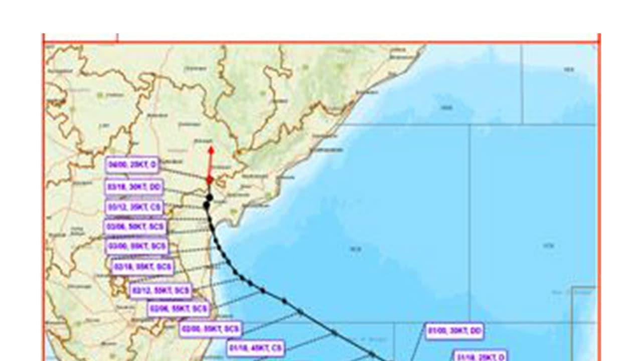
Severe Cyclone Murasu Weakens Into A Depression Over East Telangana


Cyclone Murasu Weakens Over Telangana and Andhra
The remnant of Severe Cyclonic Storm Murasu weakened into a depression over east Telangana and adjoining Coastal Andhra Pradesh on Wednesday and is likely to weaken further into a well-marked low-pressure area during the next 12 hours, the India Meteorological Department (IMD) said in its latest bulletin. Based on observations at 5:30 am IST on November 4, the department said the depression moved nearly northwards at a speed of 10 kmph during the past six hours.
The system was centred over east Telangana and adjoining Coastal Andhra Pradesh near latitude 17.0°N and longitude 80.1°E at 5:30 am on Wednesday. It was located approximately 30 km northwest of Nandigama in Andhra Pradesh, 30 km south of Khammam in Telangana, 80 km northwest of Vijayawada in Andhra Pradesh, 90 km east of Nalgonda in Telangana and 110 km southwest of Bhadrachalam in Telangana.
Technical Bulletin and Observations
The Deep Depression (Remnant of Severe Cyclonic Storm“Murasu”) over Coastal Andhra Pradesh & adjoining east Telangana moved nearly northwards with a speed of 10 kmph during past 06 hours, weakened into a Depression and lay centered at 0530 hours IST of today, the 04th November, 2026, over east Telangana & adjoining Coastal Andhra Pradesh near Latitude 17.0°N and Longitude 80.1°E, about 30 km northwest of Nandigama (Andhra Pradesh), 30 km south of Khammam (Telangana), 80 km northwest of Vijayawada (Andhra Pradesh), 90 km east of Nalgonda (Telangana) and 110 km southwest of Bhadrachalam (Telangana). Continuing to move nearly northwards, it is very likely to weaken further into a Well Marked Low Pressure area during next 12 hours. - India Meteorological Department (@Indiametdept) November 4, 2026
The weather system is very likely to continue moving nearly northwards and weaken further into a well-marked low-pressure area during the next 12 hours, the bulletin stated. The depression is under continuous surveillance by Doppler Weather Radars at Machilipatnam and Visakhapatnam.
Impact on Local Infrastructure and Transport
Earlier on Tuesday, Amaravati Meteorological Department scientist S Karuna Sagar said the process of severe cyclone Murasu crossing the coast in the coastal region is underway. Speaking in Vijayawada, he said, "There is a possibility that the intensity of the cyclone will gradually decrease from tonight. Heavy rains are likely in Bapatla, Guntur, Krishna, Palnadu, NTR, Eluru and West Godavari districts." He appealed to people in cyclone-affected areas to remain alert and strictly follow the instructions of officials, adding that "moderate to heavy rainfall is expected at some places on November 4."
"Train services on the Vijayawada-Ongole-Gudur railway route were temporarily suspended in view of cyclone conditions," said Vijayawada Division PRO Nusrat M. Mandrupkar. "A total of 29 trains have been affected by the cyclone, with 19 UP and 10 DOWN trains under regulation. Passengers are advised to check the latest train information before starting their journey through official railway platforms like IRCTC, RailOne, NTES or by calling Railway Enquiry No. 139," Mandrupkar said. (ANI)
(Except for the headline, this story has not been edited by Asianetnews Editorial staff and is published from a syndicated feed.)

Legal Disclaimer:
MENAFN provides the
information “as is” without warranty of any kind. We do not accept
any responsibility or liability for the accuracy, content, images,
videos, licenses, completeness, legality, or reliability of the information
contained in this article. If you have any complaints or copyright
issues related to this article, kindly contact the provider above.


Comments
No comment