


Cyclone Murasu Live Tracking: Severe Storm Heads Towards Andhra Coast With Winds Up To 120 Kmph Landfall Tonight


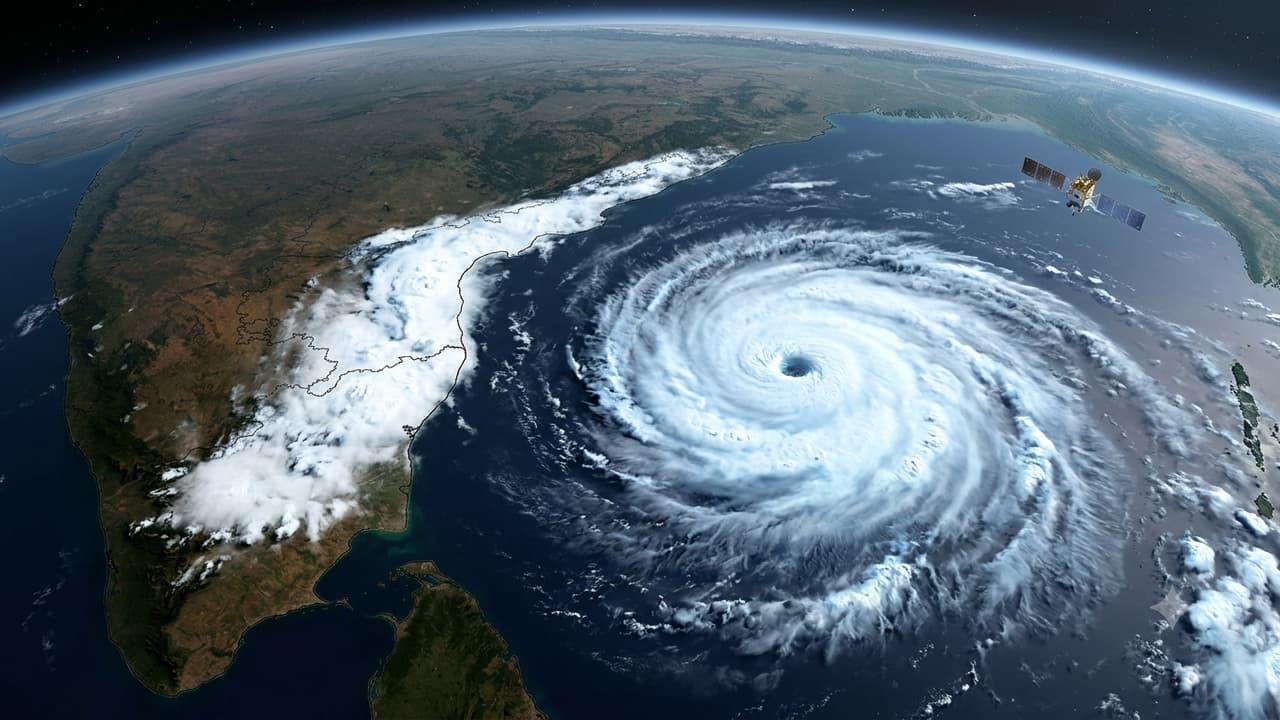
Severe Cyclonic Storm Murasu is moving rapidly across the Bay of Bengal towards India's east coast, especially targeting Andhra Pradesh. Satellite images clearly capture the swirling cloud bands and the solid structure of the storm system.
Three major satellites, including India's INSAT-3DS, are actively tracking the storm's movement and cloud formations. The system threatens to bring heavy downpours and gale-force winds to the coastal districts of Andhra Pradesh.
India's INSAT-3DS satellite used its Thermal Infrared camera to capture these images between 10:00 AM and 10:27 AM on November 2. The pictures show thick, bright cloud clusters gathering over the Bay of Bengal right next to the Andhra coast.
The cloud bands wrapping around the cyclone highlight its strong rotational energy. A massive cloud cover has already spread across South India and the adjoining ocean areas.
The India Meteorological Department (IMD) reports that Cyclone Murasu moved west-northwest at 22 kmph over the past six hours. The storm was centered over the west-central Bay of Bengal near latitude 14.1°N and longitude 81.4°E at 8:30 AM on November 2.
The system lay about 160 km east-southeast of Nellore, 180 km northeast of Chennai, 180 km east-southeast of Kavali, 210 km southeast of Ongole, and 240 km south of Machilipatnam.
Cyclone Murasu will keep moving northwest and cross the south Andhra coast between Nellore and Narsapur, just south of Ongole. The severe cyclonic storm will make landfall between 11:30 PM on November 2 and 4:00 AM on November 3. The storm will pack heavy winds reaching 100 to 110 kmph, with gusts up to 120 kmph during landfall.
Cyclone Arnab battered the region less than a week ago, and now Cyclone Murasu is keeping east coast residents on edge. Disaster management agencies are on high alert right now. Rescue teams are actively shifting coastal residents to safe shelters and stepping up precautions to handle heavy rains and rough seas.
Meteorologists are constantly monitoring the storm's movement and cloud density using thermal infrared imagery. Authorities have warned coastal communities in Andhra Pradesh to stay extremely cautious, as the region will face severe winds, heavy downpours, and turbulent sea conditions.

Legal Disclaimer:
MENAFN provides the
information “as is” without warranty of any kind. We do not accept
any responsibility or liability for the accuracy, content, images,
videos, licenses, completeness, legality, or reliability of the information
contained in this article. If you have any complaints or copyright
issues related to this article, kindly contact the provider above.


Comments
No comment