


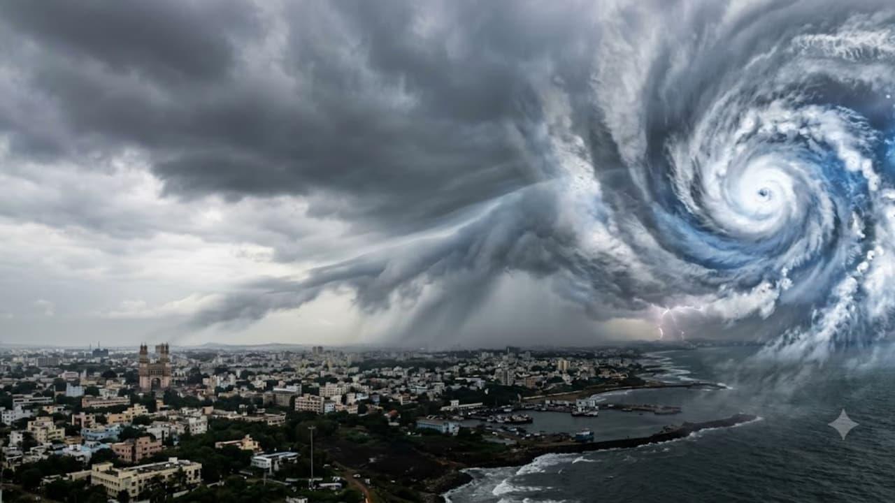
Cyclone Arnab Update: Why Does It Rain In Hyderabad When Cyclone Hits Vishakhapatnam


Cyclone Arnab is currently brewing in the Bay of Bengal, and it is already triggering heavy rains across several parts of Andhra Pradesh. But how exactly does a storm forming hundreds of kilometers away impact our local weather
Ocean surface water heats up and turns into massive amounts of vapor. This warm and moist air rises quickly to create a low-pressure zone. Winds from surrounding areas rush straight into this low-pressure space. Earth's rotation makes this air spin rapidly. The cyclone gathers strength if the weather conditions stay favorable. Continuous heat and moisture from the sea make the storm even more severe. Wind speed, wind direction, and overall weather conditions ultimately decide the true power of the cyclone.
A cyclone never just affects its starting point. The storm completely changes the atmospheric wind flows. Moisture-heavy winds travel from the Bay of Bengal towards Telangana and increase the humidity around Hyderabad. This moist air rises, cools down, and forms thick clouds. Rains finally pour down if the conditions align perfectly. However, Hyderabad will not see rain every single time a cyclone forms. Wind direction, atmospheric pressure, and temperature dictate the final rainfall. This explains why a coastal storm easily alters the weather hundreds of kilometers away.
The cyclone usually loses its power once it crosses the ocean and hits the land. The storm simply runs out of heat and moisture. However, the low-pressure systems, wind patterns, and atmospheric moisture stay active for a little longer. This leftover system keeps bringing rain to certain areas even after the main storm dies down. Local heat pushing air upwards and monsoon effects also trigger these sudden showers. The meteorological department tracks all this using satellite images, radar data, and wind direction to predict the exact rainfall.
Officials name cyclones mainly to identify them without any confusion. Multiple storms often form at the exact same time. Giving them specific names helps weather departments share clear updates with the public and government agencies. The word cyclone actually comes from the Greek word kyklos, which means a spinning coil. The storm gets this name because its winds spin rapidly around a center point. The World Meteorological Organization (WMO) and the UN ESCAP manage this naming system for the North Indian Ocean. Thirteen member countries in this region submit name lists, and officials use them in a strict order.
The India Meteorological Department (IMD) operates as the Regional Specialised Meteorological Centre for the North Indian Ocean. The IMD assigns a name from a pre-approved list the moment a cyclone reaches a specific intensity. Officials usually name the storm once wind speeds hit 62 kilometers per hour. These names must remain short, easy to pronounce, and completely non-offensive. Authorities never repeat a used name and always pick the next one from the fresh list. Ultimately, a cyclone changes wind directions and pressure levels far beyond the coast. People must always track these storm movements and follow official weather warnings.

Legal Disclaimer:
MENAFN provides the
information “as is” without warranty of any kind. We do not accept
any responsibility or liability for the accuracy, content, images,
videos, licenses, completeness, legality, or reliability of the information
contained in this article. If you have any complaints or copyright
issues related to this article, kindly contact the provider above.


Comments
No comment