


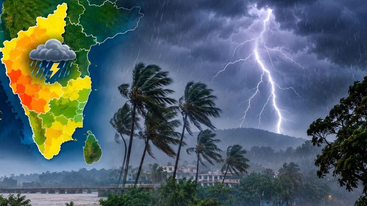
Karnataka Weather LATEST Update: Bengaluru, Mysuru Turn Cooler, Rain Alert Continues Across Districts


Karnataka Weather LATEST Update: Karnataka is likely to see more rain and cooler conditions as a developing cyclonic system over the Bay of Bengal influences the weather. Coastal, Malnad and south interior districts may receive thunderstorms
Rainfall is expected to continue across several parts of Karnataka as a developing system over the Bay of Bengal influences weather conditions. The India Meteorological Department (IMD) has warned of thunderstorms and rain in coastal, Malnad and south interior districts until October 27.
Coastal Karnataka and the Malnad region are likely to experience cloudy skies and thunderstorms, particularly during the evening and night. Dakshina Kannada, Udupi, Uttara Kannada and neighbouring Kasaragod may receive further showers over the coming days.
Rain is expected in Uttara Kannada until October 24, while Udupi, Dakshina Kannada and Kasaragod could continue to experience wet weather until October 26.
In the Malnad region, Shivamogga and Chikkamagaluru may witness thunderstorms until October 26. Kodagu, meanwhile, could remain under the influence of the rain system until October 27.
The developing weather system, combined with a cyclonic circulation near the southern Kerala coast, is likely to keep these regions unsettled.
Bengaluru and several other districts in south interior Karnataka are likely to experience showers, with rainfall potentially intensifying during the evening and night.
Mandya, Ramanagara, Bengaluru Urban, Bengaluru Rural, Kolar, Chikkaballapur, Tumakuru, Chitradurga, Davanagere and Vijayanagara are among the districts that may receive moderate to heavy rainfall.
These conditions could persist until October 26, bringing intermittent showers and thunderstorms to several locations. Bengaluru and Mysuru may also experience cooler conditions amid cloudy skies and rain.
Residents should remain alert to sudden changes in weather, particularly during evening commutes, when thunderstorms and wet roads could affect travel
Parts of north interior Karnataka, including Belagavi, Dharwad, Haveri and Ballari, may receive thunderstorms after the afternoon. Rainfall is expected to be more limited in other areas, although conditions will depend on the movement and intensity of the developing cyclonic system.
The system over the Bay of Bengal is showing signs of further intensification and could develop into a severe cyclonic storm around October 25–26. It is expected to approach the Andhra Pradesh coast around October 29–30, although its eventual track and intensity will determine the extent of its impact on neighbouring regions.
With weather conditions likely to change at short notice, residents are advised to follow official IMD updates. Commuters should exercise caution during heavy showers, while farmers should take necessary precautions to protect standing crops and agricultural produce.

Legal Disclaimer:
MENAFN provides the
information “as is” without warranty of any kind. We do not accept
any responsibility or liability for the accuracy, content, images,
videos, licenses, completeness, legality, or reliability of the information
contained in this article. If you have any complaints or copyright
issues related to this article, kindly contact the provider above.


Comments
No comment