


Swiss Research Test Radar Drone To Detect Natural Hazards


-
Português
pt
Suíços desenvolvem drone para detetar catástrofes naturais
Read more: Suíços desenvolvem drone para detetar catástrofes nat
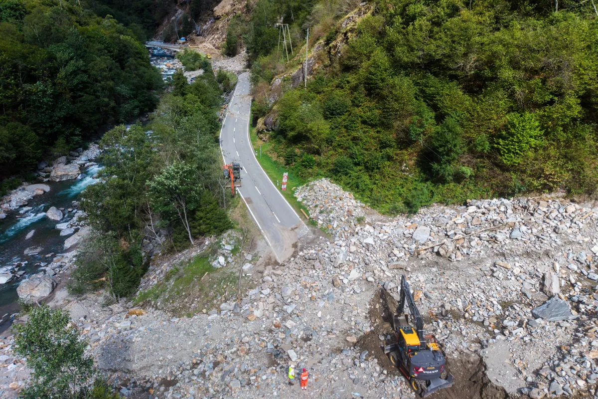
The permafrost is thawing, which means monitoring the Alpine region to predict landslides and rockfalls has become increasingly important. To ensure forecasts are as accurate as possible, ETH Zurich researchers are testing a radar-equipped drone for the first time.
A large drone takes off in the Lötschental valley in Valais and then flies over the Oigschtchummun glacier above Blatten. Attached to the bottom of the drone is a radar device that scans the terrain using electromagnetic waves.
In this way, they want to measure the glacier's movement, says Felix Seidel, managing director of the Swiss Geolab.“If we measure the glacier again 20 minutes later, we already see a very small difference,” he said. This means that the glacier has moved during this time, and the researchers can measure this movement.
More More Climate adaptation The seven worst landslides in Swiss historyThis content was published on Jun 2, 2025 A photo essay looking at some of the biggest landslide disasters in Swiss history.
Read more: The seven worst landslides in Swiss hi
Legal Disclaimer:
MENAFN provides the
information “as is” without warranty of any kind. We do not accept
any responsibility or liability for the accuracy, content, images,
videos, licenses, completeness, legality, or reliability of the information
contained in this article. If you have any complaints or copyright
issues related to this article, kindly contact the provider above.


Comments
No comment