

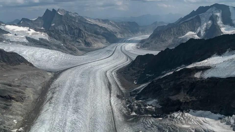
How Melting Glaciers Are Redrawing Switzerland's Maps


-
Deutsch
de
So zeigt sich der Gletscherschwund auf der Karte
Read more: So zeigt sich der Gletscherschwund auf der
Thousands of aerial photographs are currently arriving at the Federal Office of Topography (swisstopo) in Wabern, near Bern. The images were captured by swisstopo's aerial survey service, which this year focused on the Alps in cantons Valais and Vaud. Every year, the federal government flies over roughly a third of Switzerland to document changes in the landscape.
“I'm a child of the mountains,” says Tobias Providoli, who heads a team of 35 people at swisstopo. Yet he can barely bring himself to look at the latest images.“I try not to compare them with the old ones, because the decline is so dramatic. I don't even open those images in the first place.”
More More Glaciers & permafrost A fifth of Swiss Alpine ice has vanished in five yearsThis content was published on Oct 1, 2026 In 2026 summer heatwaves and low snowfall in winter led to the disappearance of dozens of Swiss glaciers.
Read more: A fifth of Swiss Alpine ice has vanished in five
Legal Disclaimer:
MENAFN provides the
information “as is” without warranty of any kind. We do not accept any
responsibility or liability for the accuracy, content, images, videos,
licenses, completeness, legality, or reliability of the information
contained in this article. If you have any complaints or copyright issues
related to this article, kindly contact the provider above.
Comments
No comment