

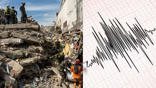
Tibet Hit By Magnitude 5 Earthquake Days After Deadly Glacier Collapse Wreaked Havoc Near Nepal Border


According to the German Research Center for Geosciences (GFZ), the earthquake occurred at a depth of 110 km. There were no immediate reports of casualties or damage following the latest tremor.
According to a screenshot shared by the National Center for Seismology, the earthquake occurred on 3 September 2026 at 1:46:38 PM (Indian time).
The location is labelled Tibet, near the Himalayan region. It was reported 128 kilometres northeast of Joshimath in Uttarakhand, India. Joshimath is mentioned as a reference point for locating the earthquake.
The reported coordinates are 31.479 degrees north latitude and 80.370 degrees east longitude. The earthquake started at a depth of 14 kilometres below the ground.
The earthquake comes more than a week after a glacier collapsed near the Tibet-Nepal border, triggering a powerful flow of ice, rocks and water that caused extensive damage across settlements and valleys on both sides. Media reports said the disaster has claimed at least 1,268 lives so far, while more than 4,200 people are still missing.
(This is a developing story. Check back for more updates.)

Legal Disclaimer:
MENAFN provides the
information “as is” without warranty of any kind. We do not accept any
responsibility or liability for the accuracy, content, images, videos,
licenses, completeness, legality, or reliability of the information
contained in this article. If you have any complaints or copyright issues
related to this article, kindly contact the provider above.
Comments
No comment