

Mines Ministry Begins Geological Mapping In Souther, Western Zones


In a statement issued on Friday, the ministry said the basic geological survey was launched as part of its 1405 work plan.
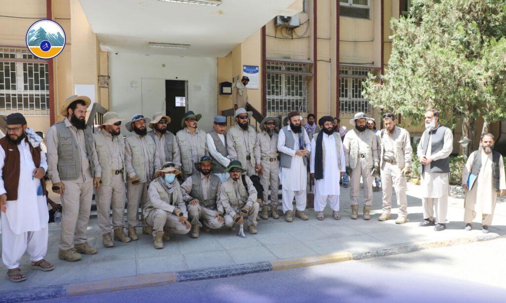
Two professional teams of engineers from the Mines Survey Department were dispatched to the southern and western zones on Thursday to begin fieldwork for the geological mapping project.
The teams are working under the supervision of Dipl.-Ing. Mohammad Khalil Alamkhail, head of the Mines Survey Department, according to the ministry.
The ministry described the initiative as one of its first specialized efforts to prepare geological maps at a 1:100,000 scale using its own geologists and technical experts in the southern and western parts of the country.
It said the project would help collect geological data and establish a scientific and technical database to support future studies and exploration of Afghanistan's mineral resources.
According to the ministry's work plan, Afghanistan has been divided into seven geological zones, three of which will be covered by the mapping programme this year.
The ministry said the long-term objective of the initiative is to gradually complete Afghanistan's geological maps and provide reliable, scientific data to support mineral exploration, research and more effective management of the country's mineral resources.
sa

Legal Disclaimer:
MENAFN provides the
information “as is” without warranty of any kind. We do not accept any
responsibility or liability for the accuracy, content, images, videos,
licenses, completeness, legality, or reliability of the information
contained in this article. If you have any complaints or copyright issues
related to this article, kindly contact the provider above.
Comments
No comment