(MENAFN- Kashmir Observer)
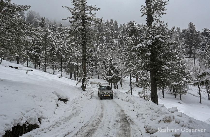
An SUV passes through a snow-covered road in Tangmarg following overnight snowfall on Saturday. KO Photo, Abid Bhat
Srinagar- The meteorological department predicted more downpour for the next 24 hours across the Kashmir Valley even as Gulmarg and other upper reaches on Saturday received fresh snowfall while rains lashed plains dipping the day temperature sharply.
“Currently, weather is overcast at most places of J&K with report of widespread light to moderate rain/snow in both Jammu & Kashmir regions,” an official of the meteorological department here said.
“Widespread moderate rain and snow with heavy rain and snow (mainly in South Kashmir, Pirpanjal, Banihal-Ramban-Batote axis, Reasi, Poonch, Rajouri and most places of Jammu region) is most likely during next 24 hours, starting tonight till tomorrow evening,” he said.
He said weather may disrupt surface transportation, like Jammu-Srinagar highway, Sinthan Top, Sadhna Top, etc.
The official further said that the weather will witness significant improvement from January 24 onwards till January 28.
Meanwhile, Gulmarg skiing resort received about five inches of fresh snowfall, while Pahalgam tourist resort, in south Kashmir's Anantnag district, recorded about two inches, the officials said.
Qazigund also recorded about two inches, while the nearby south Kashmir town of Kokernag received an inch of fresh snowfall, they said.
There are reports of snowfall in other areas in the upper reaches of the valley as well, they said.
Meanwhile, the minimum temperature at most places in the valley last night settled above the freezing point. The mercury was several degrees above the normal for this time of the season at most places, the officials said.
Srinagar, the summer capital of Jammu and Kashmir, recorded a low of 2.3 degrees Celsius - down from 2.8 degrees Celsius the previous night, they said.
Gulmarg recorded a low of minus 6.5 degrees Celsius - a degree up from the previous night.
Pahalgam recorded a low of minus 2.4 degrees Celsius - same as the previous night, they said.
The officials said Qazigund recorded the minimum of 0.2 degrees Celsius, while the nearby south Kashmir town of Kokernag recorded a low of minus 1.9 degrees Celsius.
The mercury in Kupwara in north Kashmir settled at a low of 1.4 degrees Celsius.
The MET Office has forecast widespread light to moderate rain/snow in J-K till Sunday.
There are chances of rain/snow at isolated places over the next two days too, it said.
Afterwards, the weather is likely to stay mainly dry till the end of the month and there is no forecast of any major rain/snow till the end of January, it said.
Kashmir valley is currently under the grip of the 40-day harshest winter period known as 'Chilla-i-Kalan' which began on December 21 last year.
'Chilla-i-Kalan' is a period when a cold wave grips the region and the temperature drops considerably leading to the freezing of water bodies including the famous Dal Lake here as well as the water supply lines in several parts of the valley.
The chances of snowfall are the most frequent and highest during this period and most areas, especially in the higher reaches, witness heavy to very heavy snowfall.
MENAFN22012022000215011059ID1103578103
Legal Disclaimer:
MENAFN provides the information “as is” without warranty of any kind. We do not accept any responsibility or liability for the accuracy, content, images, videos, licenses, completeness, legality, or reliability of the information contained in this article. If you have any complaints or copyright issues related to this article, kindly contact the provider above.